Ma’rib, Yemen
Coordinates: 15.395200, 45.242800
Nearby Places
- Bar’an Temple complex (معبد بران) 10.81 Km E (85°)
- Ruins of Old Ma’rib 11.75 Km E (78°)
- Temple of Awwam 12.16 Km E (85°)
First Heading
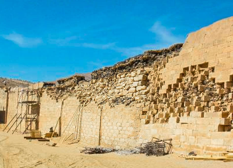
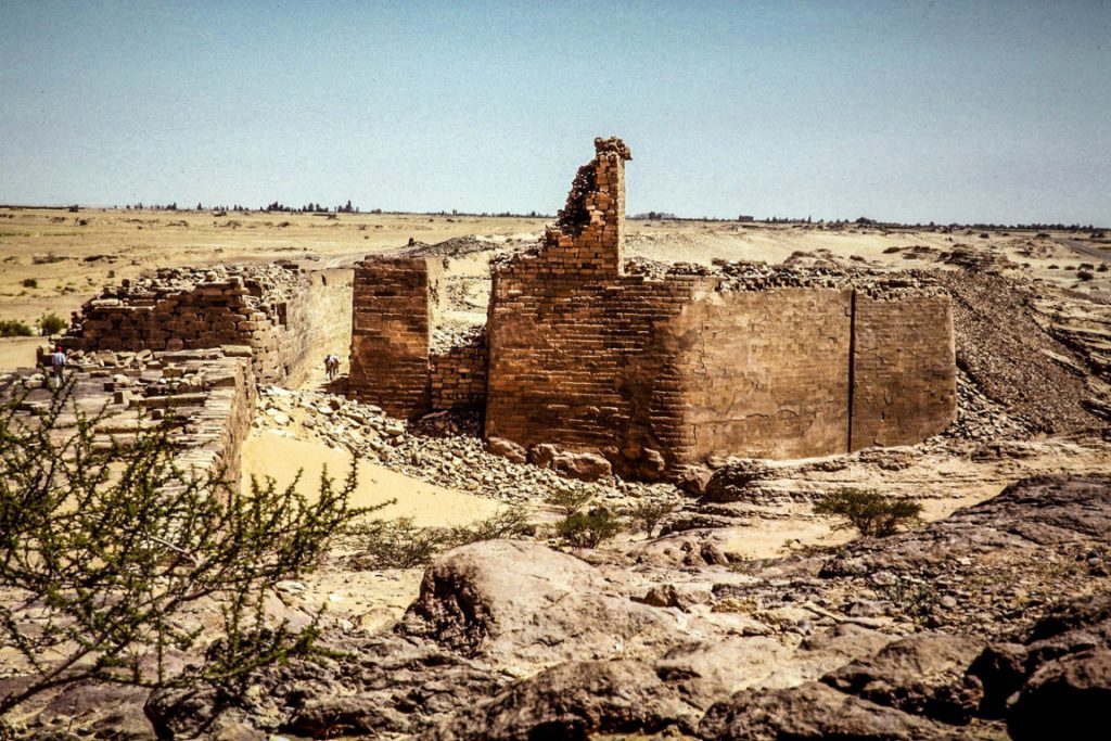
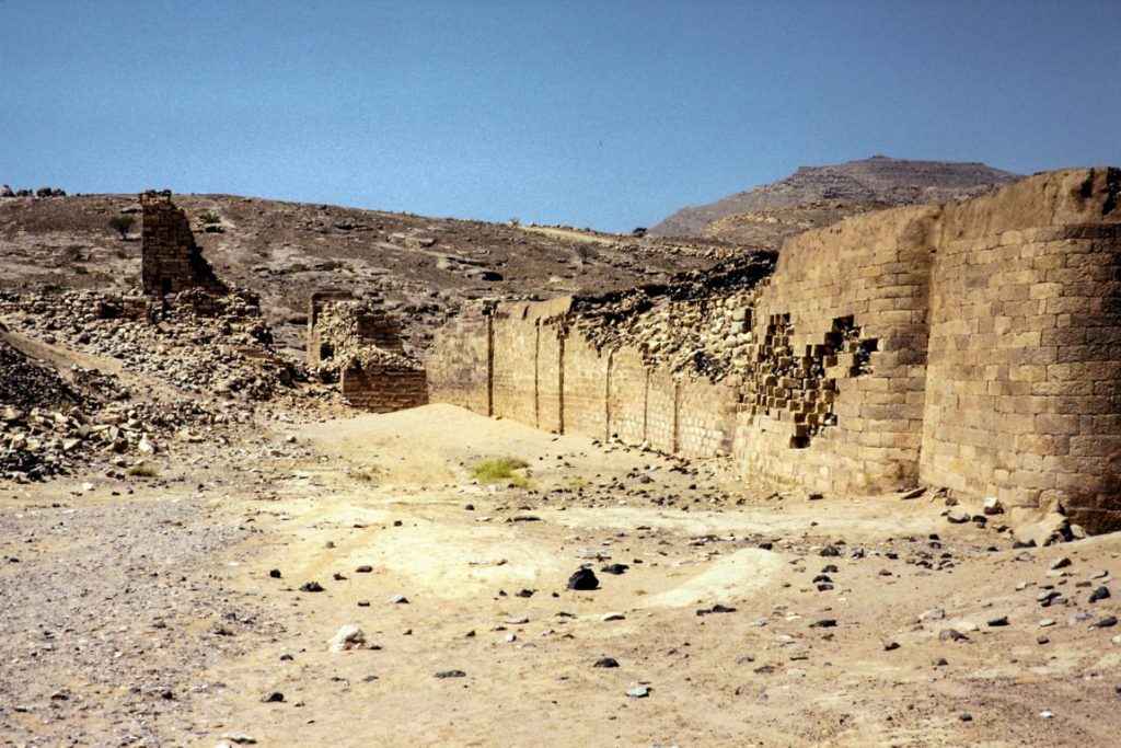
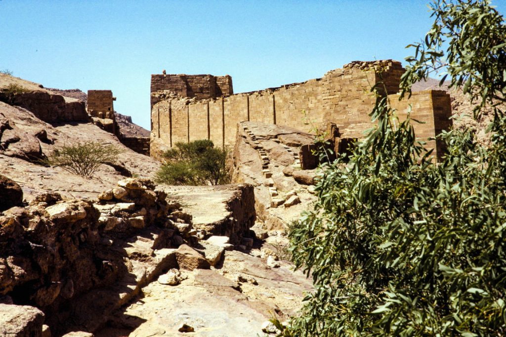
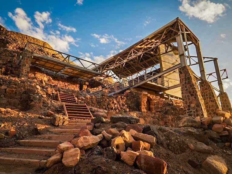
Ruins of the Great Dam of Ma’rib
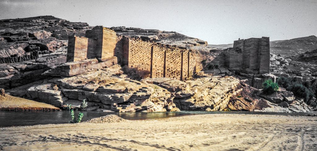
The site of the great Dam of Ma’rib, also called the Dam of ‘Arim, is part of the ancient city of Ma’rib, once the capital of the ancient kingdom of Saba. The Kingdom of Saba’ was a prosperous trading nation, with control of the frankincense and spice routes in Arabia and Abyssinia.
The Sabaeans built the dam to capture the periodic monsoon rains which fall on the nearby mountains and so irrigate the land around the city.
Recent archaeological findings suggest that simple earth dams and a canal network were constructed as far back as 2000 BC. The Great Dam of Ma’rib dates back to about the 8th century BC and is counted by some as one of the most wonderful feats of engineering in the ancient world.
Construction
The date of the first construction of a dam at Ma’rib goes back to somewhere between 1750 and 1700 BC.
Breach and Repair
The Muslim historian al-Isfahani maintains that the famous breach of the dam occurred some four hundred years before the rise of Islam.
Ancient South Arabian sources report that in about 145 BC, the dam suffered a significant breach during the war between the people of Raydan and the Kingdom of Saba’, and that is the very breach that many scholars consider to have caused the Sayl al-Arim (Flood of the Arim) mentioned in the Quran; it is also mentioned in Arab proverbs which speak about the hands of Saba’ having separated at that time.
The fighting between the Raydanites and the Sabaeans delayed the repair of the dam, and this caused devastating losses of crops and fruit, leading large numbers of people to disperse in search of new land capable of supporting life, so huge migrations ensued. It is still uncertain though whether it was that particular breach that caused the “Flood of Arim” or not since some migrations certainly took place in the 2nd or 3rd centuries CE. They are also ascribed to the breaking of the Dam of Ma’rib.
Despite the increases in height, the dam suffered numerous breaches (recorded significant incidents occurred in 449, 450, 542 and 548) and the maintenance work became increasingly demanding; the last documented repairs took place in 557.
Final breach and the Flood
Local tales report that the final breach of the dam had been predicted by a king called ‘Imran, who was also a soothsayer, and later by the wife of the king. According to legend, the breach was caused by large rats gnawing at it with their teeth and scratching it with their nails. In 570 or 575, the dam was again overtopped, resulting in the Flood. The breaching and destruction of the Dam of Ma’rib was a historical event and was alluded to in the Quran.
“There was for [the tribe of] Saba in their dwelling place a sign: two [fields of] gardens on the right and the left. [They were told], “Eat from the provisions of your Lord and be grateful to Him. A good land [have you], and a forgiving Lord. But they turned away [refusing], so We sent upon them the Flood of the dam, and We replaced their two [fields of] gardens with gardens of bitter fruit, tamarisks and something of sparse lote trees.” Quran 34:15–17
Migration from Ma’rib
The consequent failure of the irrigation system provoked the migration of up to 50,000 people from Yemen to other areas of the Arabian Peninsula, and even to the Levant.
Aftermath
Saba as a kingdom was long gone by the time the dam failed, but the Flood ensured that any coherent history of the culture would be wiped away for future generations. The Arab Invasion of the 7th century CE, establishing Islam, further obscured Sabean history which only began to attract the interest of scholars and archaeologists in the 19th century CE. At its height, however, Saba was one of the greatest kingdoms in antiquity and ruled over a land that, to many back then, was considered blessed by the ‘gods’.
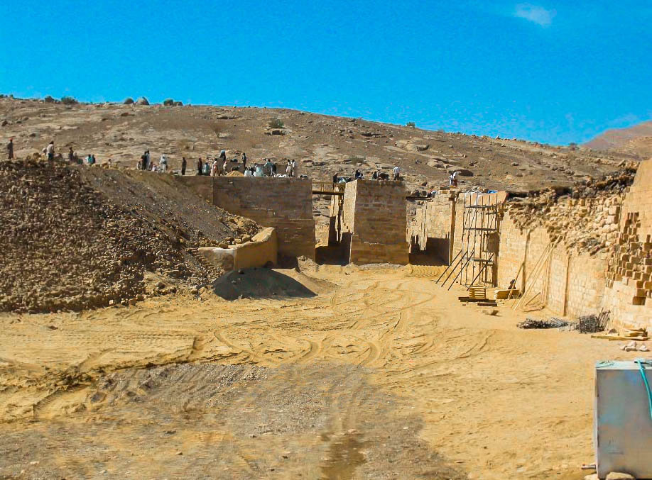
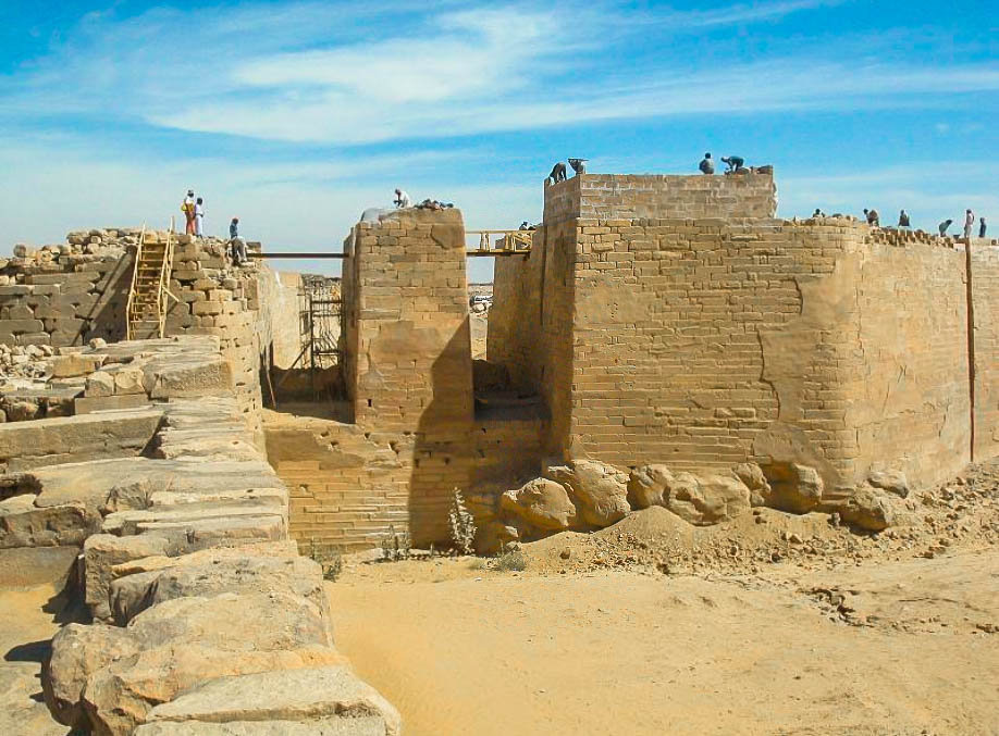
After the end of the Kingdom of Saba’, the dam fell under the control of the Himyarites around 115 BC. They undertook further reconstruction, creating a structure 14 meters high with extensive waterworks at both the northern and southern ends, five spillway channels, two masonry-reinforced sluices, a settling pond, and a 1000-meter canal to a distribution tank. These extensive works were not finalized until 325 AD and allowed the irrigation of 25,000 acres (100 km2).
Current dam
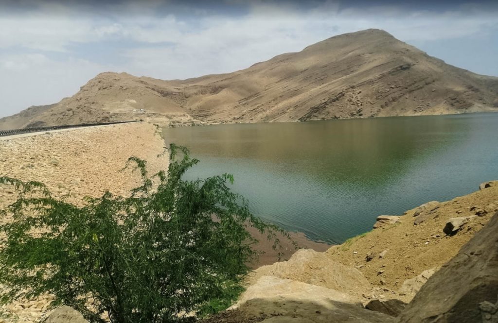
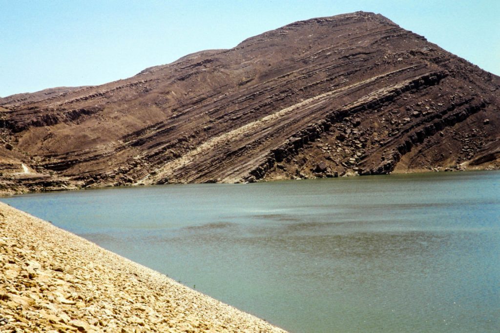
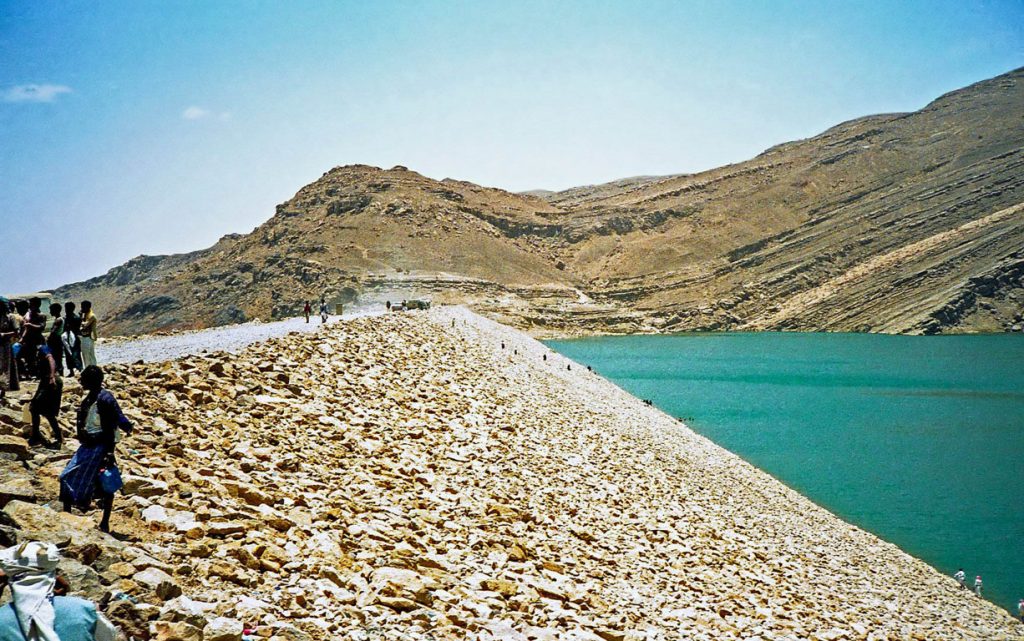
The current dam in 1986
A new dam was built in the 1980s, close to the location of the old one, at the expense of Sheikh Zayed bin Sultan Al Nahyan, the late President of the United Arab Emirates, whose tribe reportedly resettled from Ma’rib to what is now the United Arab Emirates, sometime during the 17th century, or in the 6th century, after the collapse of the historic dam.
Damaged by Civil War
The dam was damaged in an airstrike in the night of May 31, 2015. Yemeni officials said that Saudi Arabian coalition forces were responsible for the airstrike.


