Al Hajjarah – Manakhah District, Yemen
Coordinates: 15.065500, 43.718100
Nearby Places
- Manakah 2.66 Km NE (65°)
- Jabal Haraz 4.36 Km W (292°)
- Hutayb 4.57 Km SE (124°)
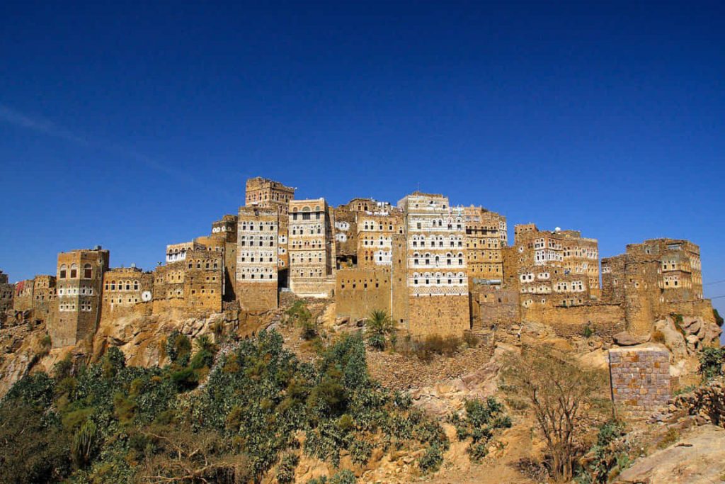
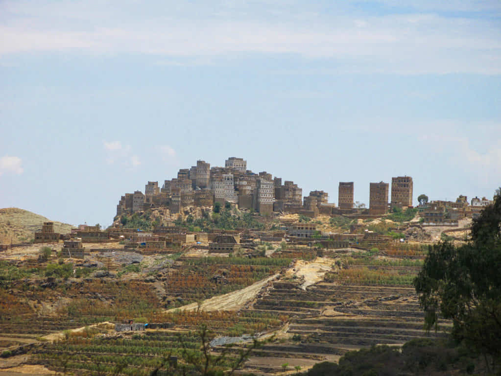
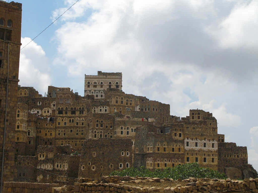
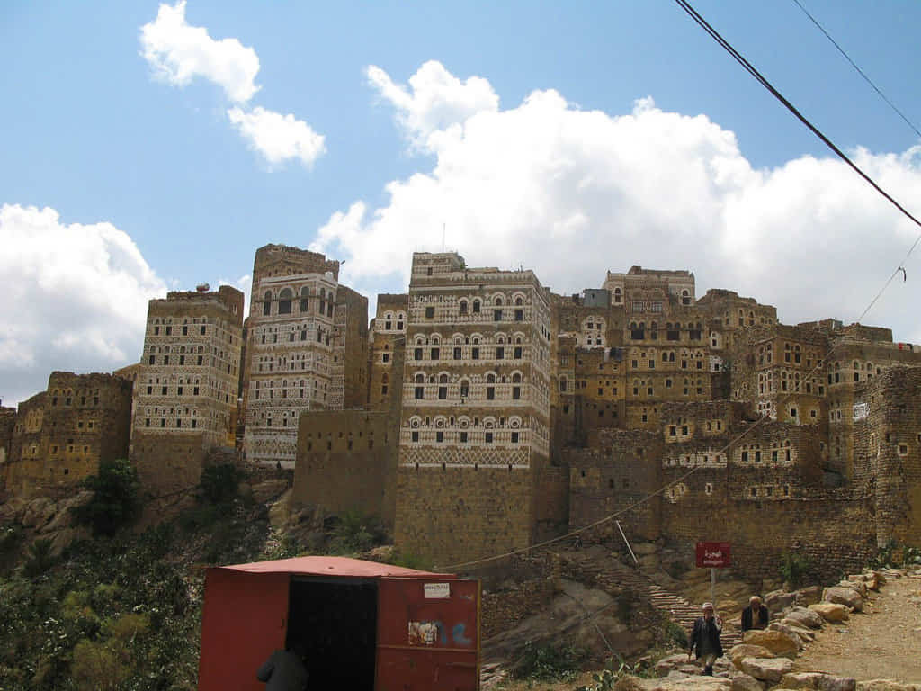
Al Hajjarah is a village in Yemen located in the Manakhah District of the Sanaʽa Governorate, in the Haraz Mountains. It is a former market town, lying along the Sana’a-Al-Hudayda road, and today is used as a base camp by trekkers.
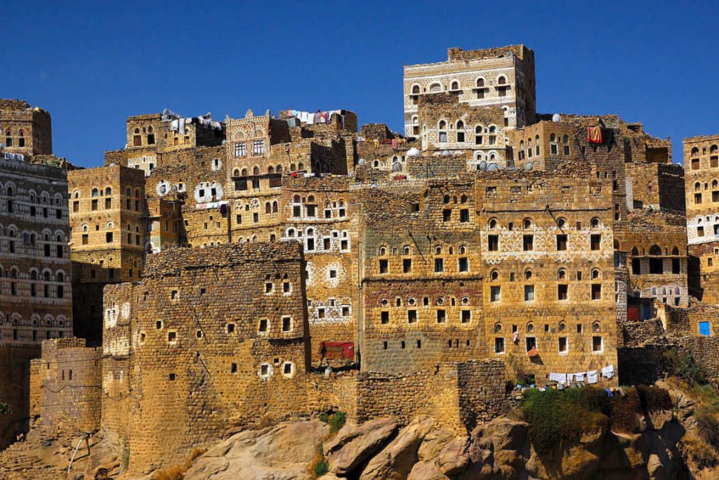
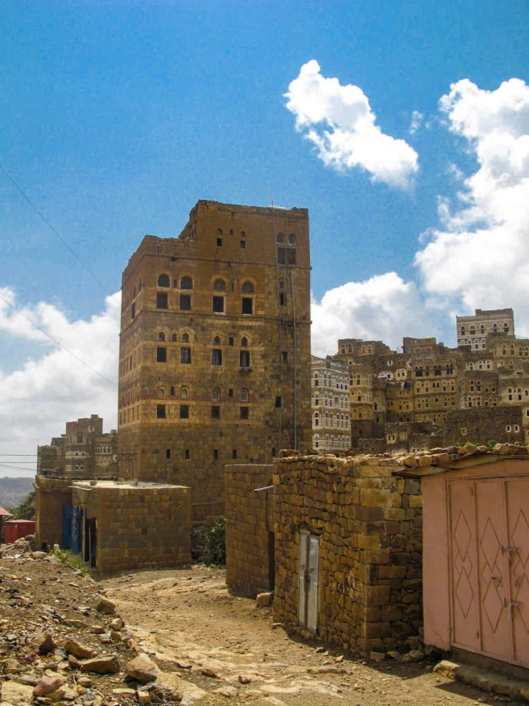
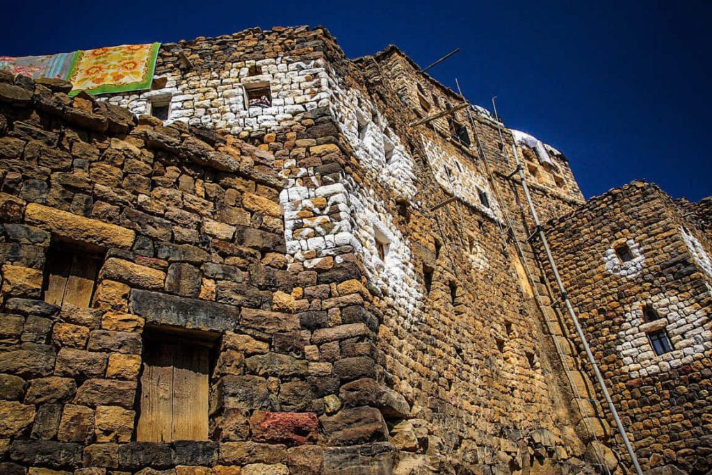
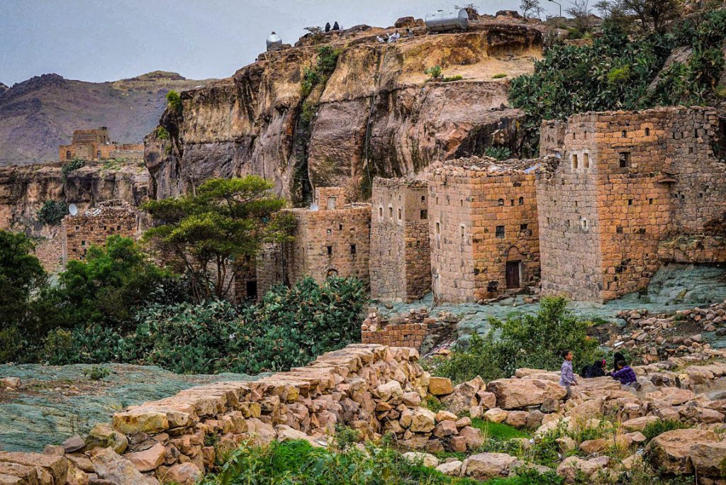
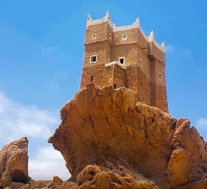
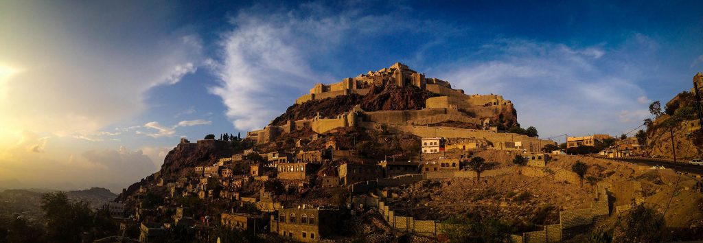
Al Hajjarah is built upon a precipice and is famous for its towering houses built onto the cliff faces. Its historical Masar fort was founded in the 12th century by the Sulaihids. It became a significant fortification during the Ottoman occupation of Yemen, given the strategic importance of the location. Al Hajjarah is known to be a producer of pepper.
Al Hajjarah contains the former residence of Imam Yahya Muhammad, a signatory to the Italo-Yemeni Treaty of 1926.
Sources
Image Sources
36_Hadjara_(10)
By Ljuba brank – Own work, CC BY-SA 3.0, https://commons.wikimedia.org/w/index.php?curid=47155092
034-YemenHajazbyday2
By Bruno Befreetv – Own work, CC BY-SA 3.0, https://commons.wikimedia.org/w/index.php?curid=5687023
1440px-36_Hadjara_(11)
By Ljuba brank – Own work, CC BY-SA 3.0, https://commons.wikimedia.org/w/index.php?curid=47155091
36_Hadjara_(6)
By Ljuba brank – Own work, CC BY-SA 3.0, https://commons.wikimedia.org/w/index.php?curid=47155086
1440px-36_Hadjara_(9)
By Ljuba brank – Own work, CC BY-SA 3.0, https://commons.wikimedia.org/w/index.php?curid=47155088
36_Hadjara_(7)
By Ljuba brank – Own work, CC BY-SA 3.0, https://commons.wikimedia.org/w/index.php?curid=47155087
37_kmetija_Djumaa_(12)
By Ljuba brank – Own work, CC BY-SA 3.0, https://commons.wikimedia.org/w/index.php?curid=47155094


