South Khorasan, Iran
Coordinates:
Ghal’eh Kuh of Ferdows
33.910000, 58.135500
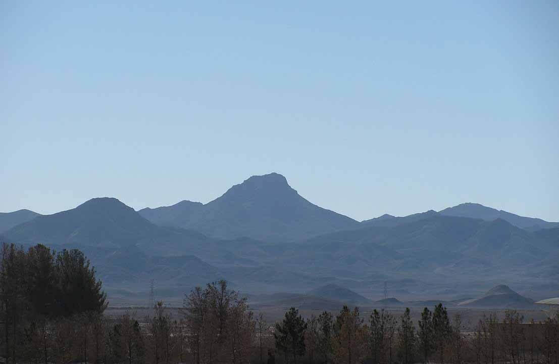
Ghal’eh Kuh of Hasanabad
34.072816, 58.084003
Ghal’eh Kuh of Ferdows
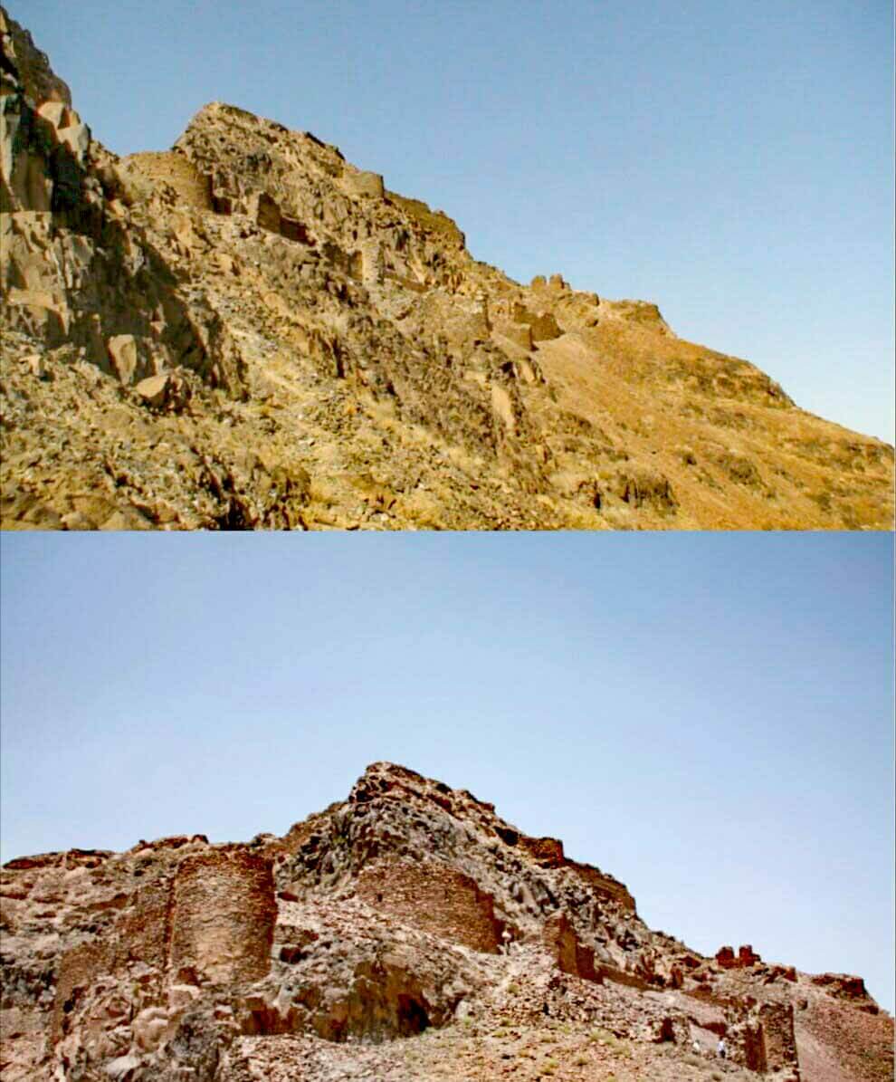
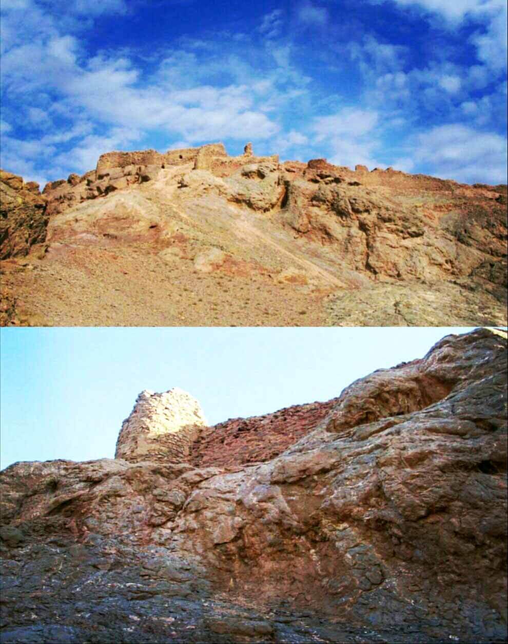
Ghal’eh Kuh of Ferdows is a ruined fortress on top of Kuh-e Ghal’eh, located south of Ferdows in South Khorasan Province, Iran.
The fortress was famously used by the Nizari Ismailis of the Alamut period, and was the biggest Nizari stronghold in the Quhistan region, according to the Tarikh-i Jahangushay.
It was connected to the nearby Ghal’eh Kuh of Hasanabad and to the city of Tun itself via secret tunnels discovered after the 1968 Dasht-e Bayaz and Ferdows earthquakes.
The fortress was destroyed and burned in May 1256 after its capture by the invading Mongols under Kitbuqa and Köke Ilgei.
Ghal’eh Kuh of Hasanabad
Ghal’eh Kuh of Hasanabad is a small ruined fortress located north west of Ferdows (Tun) and near the village Hasanabad in South Khorasan Province, Iran. The fortress was used by the Nizari Ismailis of the Alamut period.