Shabwah, Yemen
Coordinates: 14.027226, 48.380436
Nearby Places
- Bi’r Ali Beach 3.13 Km W (250°)
- Alguwizi Fortress 100.54 Km NE (54°)
- Al hajarayn 161.94 Km N (358°)
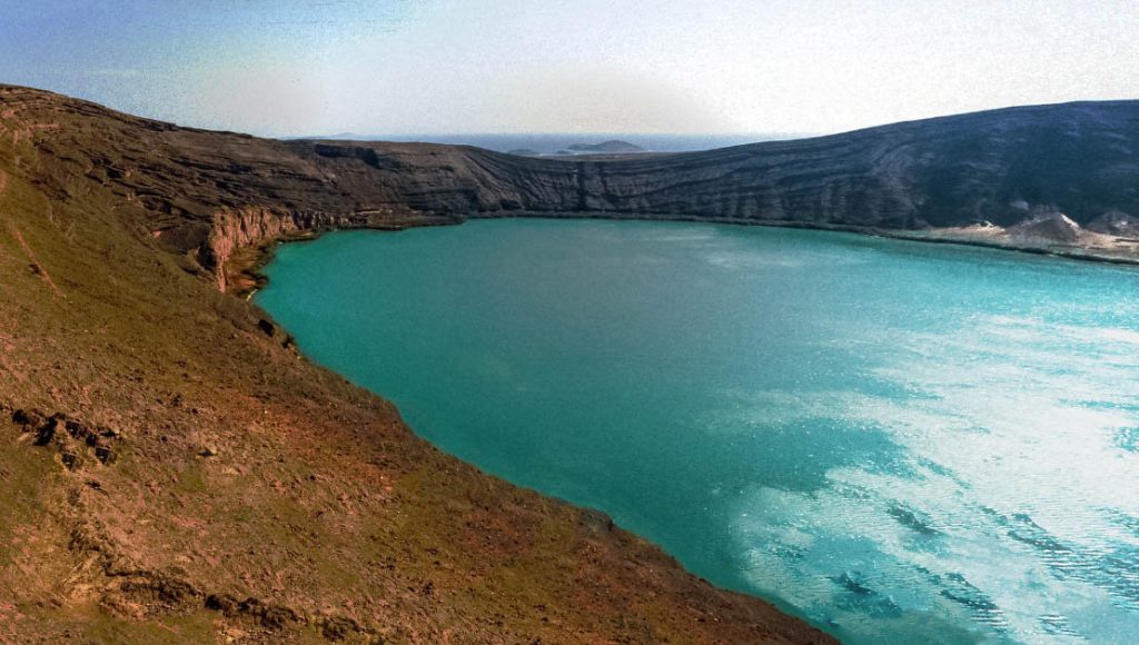
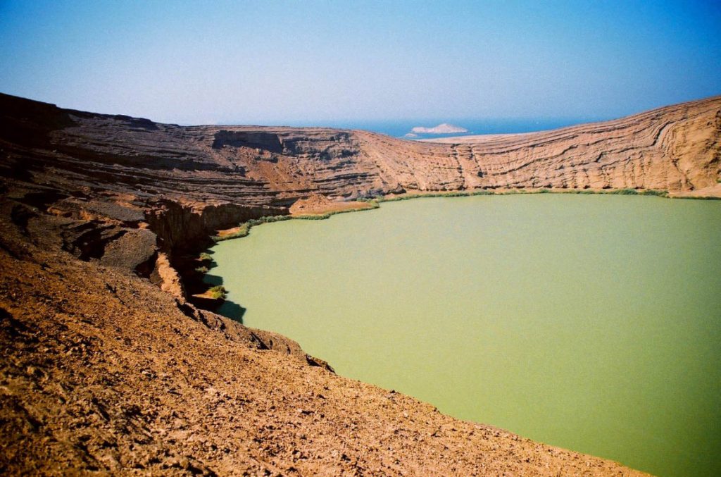
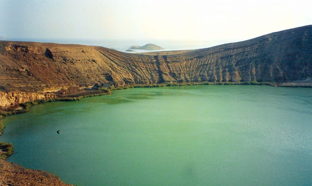
This crater lake with turquoise waters is situated in Balhaf, in the middle of the coast’s dunes. Balhaf consists of an oasis with its palm trees; then, the white sand gives way to black lava fields as far as the fishing port of Bir-Ali. Then Qana, one of the major starting points of the Incense Route, was the great port of the ancient kingdom of Hadramawt; it is dominated by a hill, Husn al-Ghurab, where ancient remains remain and away is an extinct volcano. The coastal “Corniche” road leads to Burum, which rises at times in the mountains to overlook the sea better. Burum, a typical fishing port, also had a glorious past. Not far away, through a spectacular fault, we can see the large bay of Mukalla. The islands are populated by migrating birds of India or Africa.
Location
Balhaf belongs to the Shabwa district of Yemen, located about 150 km from Mukalla-the capital of Hadhramaut.
World Heritage status
This site was added to the UNESCO World Heritage Tentative List on 08/07/2002, in the mixed (cultural and natural) category.
Importance
Balhaf is now considered one of Yemen’s main ports, particularly after the success of the Yemen LNG project for constructing a liquefied natural gas in 2006.
Sources
https://whc.unesco.org/en/tentativelists/1724/
https://en.wikipedia.org/wiki/Balhaf
Image Sources
1440px-BirAli_Crater
Par Email4mobile — Travail personnel, CC BY-SA 3.0, https://commons.wikimedia.org/w/index.php?curid=11298043


