Kamaran, Yemen

Coordinates: 15.344100, 42.580400
Nearby Places
- Old town in Mahwit 104.60 Km E (82°)
- Hajjah 115.95 Km E (70°)
- Jabal Haraz 121.75 Km E (103°)
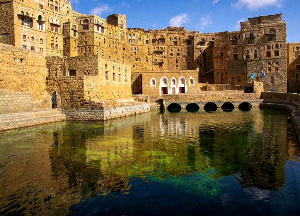
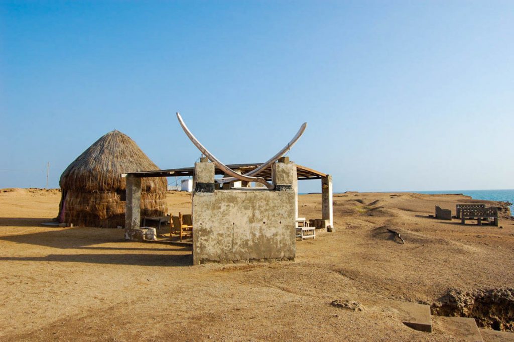
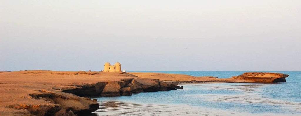
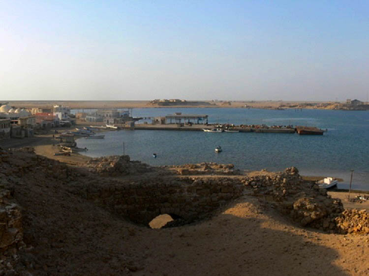
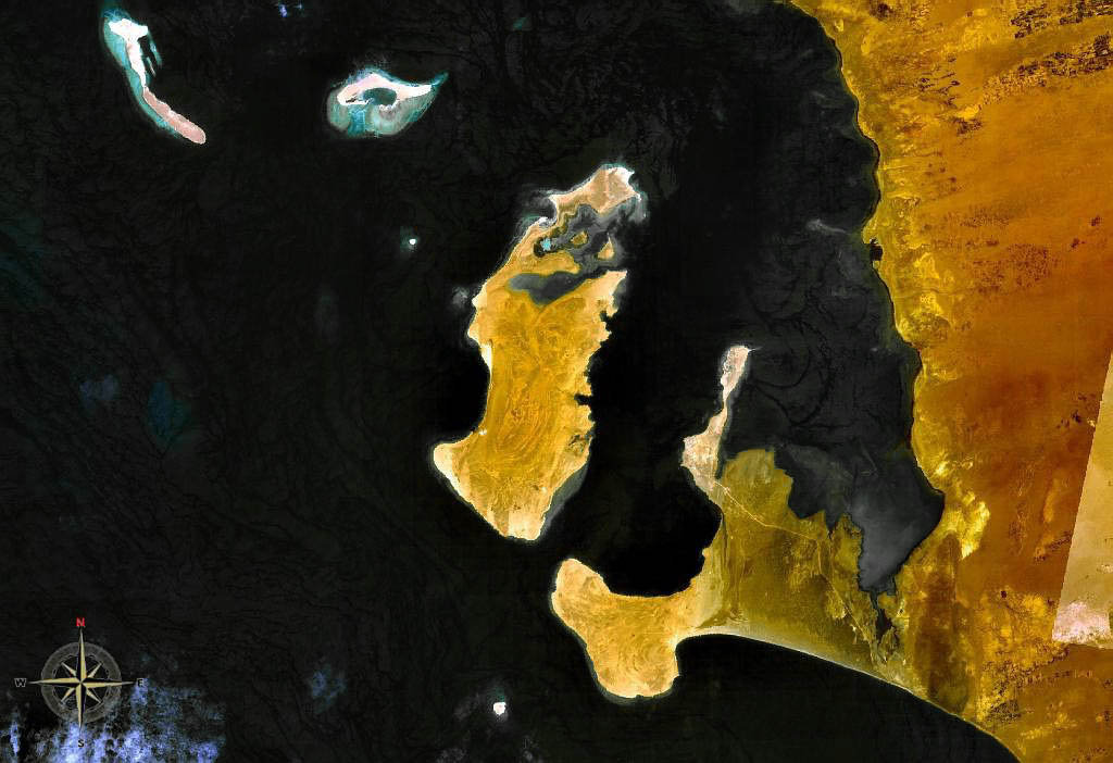
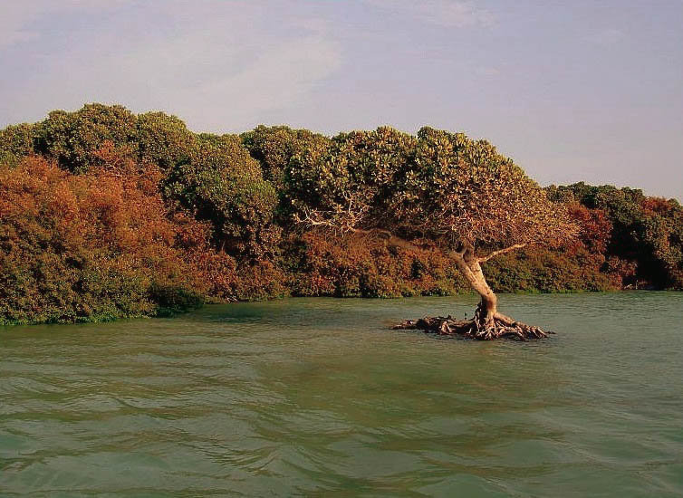
Kamran Island is one of the most essential and largest Yemen-controlled island on the Red Sea and the Gulf of Aden because of its unique location. It overlooks the most critical sea lanes in the world, which reach the east and west. It is one of the most important nature reserves. This 108 km2 island is 18 km long and 7 km wide and strategically located at the Red Sea’s southern end. The population numbers 2,200
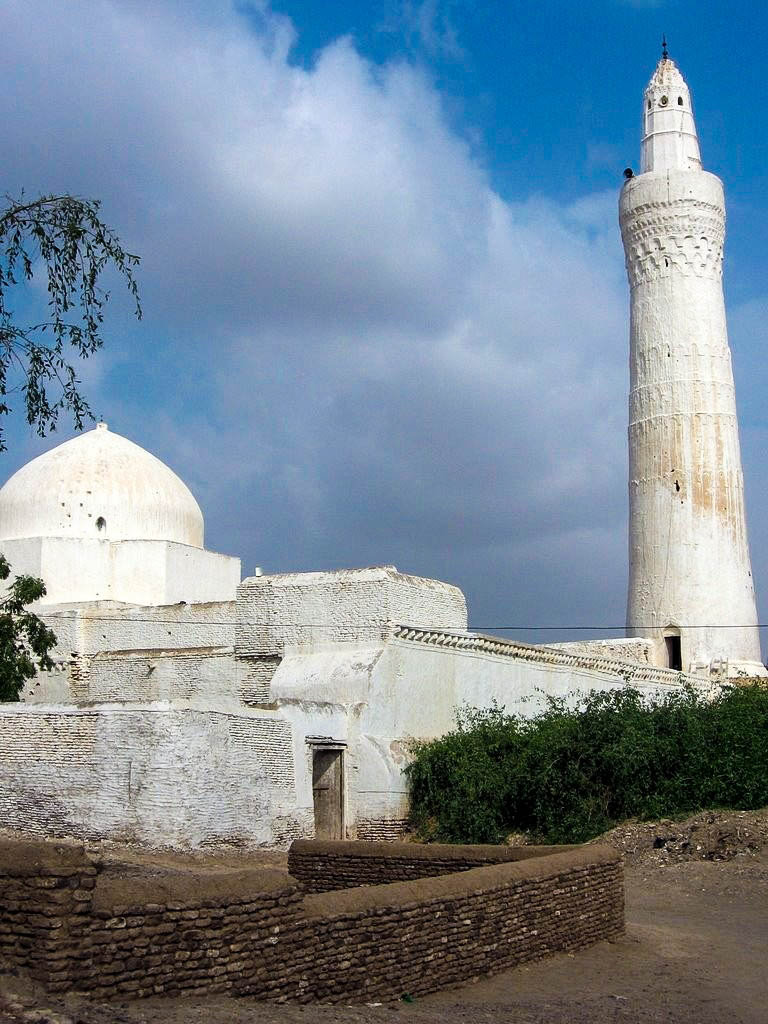
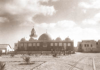
The island includes various archaeological, religious, military and civil monuments dating back to different historical periods since before Islam, and has been renewed more than once. The most important monuments are the Persian Castle, the Great Mosque, Jabbana Mosque, Mosque and shrine of the Iraqi, the palace of Queen Elizabeth II, and others. A variety of styles characterized these monuments; they varied from different Islamic styles to European models.
Kamaran is generally flat, with a few hills in the south. Its highest point is Jabal Yaman (24 meters high), situated about three kilometers from Ra’s al Yaman, the southeastern cape of the island.
History
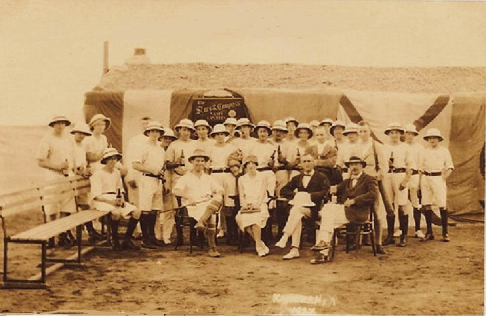
Kamaran had been inhabited for centuries when the Portuguese established an outpost there in the 16th century. The island was occupied by the Ottoman Empire in the 19th century and used as a quarantine station for pilgrims conducting the hajj to the Ottoman-controlled Muslim holy city of Mecca. In June 1915, during World War I, the British seized the island with Aden troops and started appointing Commissioners to administer it, but did not declare formal possession. In 1923, the Treaty of Lausanne, which divided up the defeated Ottoman Empire, declared an end to its sovereignty over the island. Its future was to be “settled by the parties concerned” without specifying those parties. Britain continued to occupy the island despite Yemen’s objections and administered it from the Colony of Aden. In 1949,
Britain formally declared the governor of Aden to be the governor of Kamaran, but the island did not become a part of the colony. On 30 November 1967, Kamaran became a part of the People’s Democratic Republic of Yemen (South Yemen) upon its independence from Britain but was seized by the adjacent Yemen Arab Republic (North Yemen) in 1972 and became a part of a unified Yemen in 1990.
Sources
Image Sources
1851px-Jemen1988-013_hg
By H. Grobe – Own work, CC BY-SA 3.0, https://commons.wikimedia.org/w/index.php?curid=13283281