Jezreel Valley, Israel Occupied Palestine

Coordinates: 32.750819, 35.284524
Sepphoris (Arabic: Saffuriya) is a former village and an archaeological site located in the central Galilee region of Israel occupied Palestine, 6 kilometers north-northwest of Nazareth.
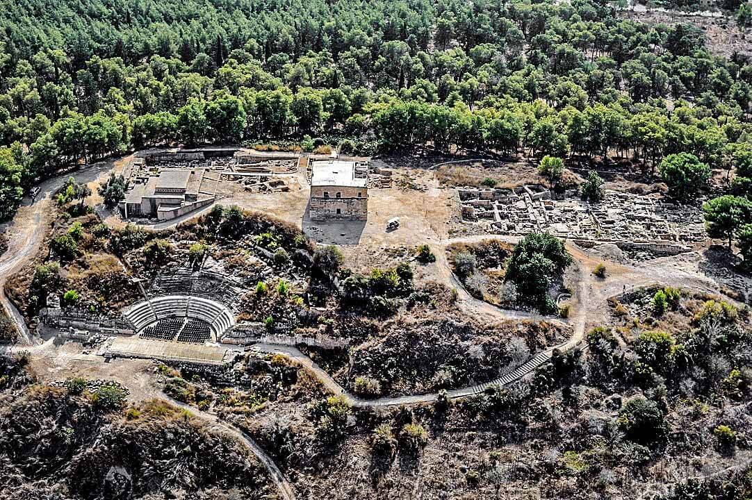
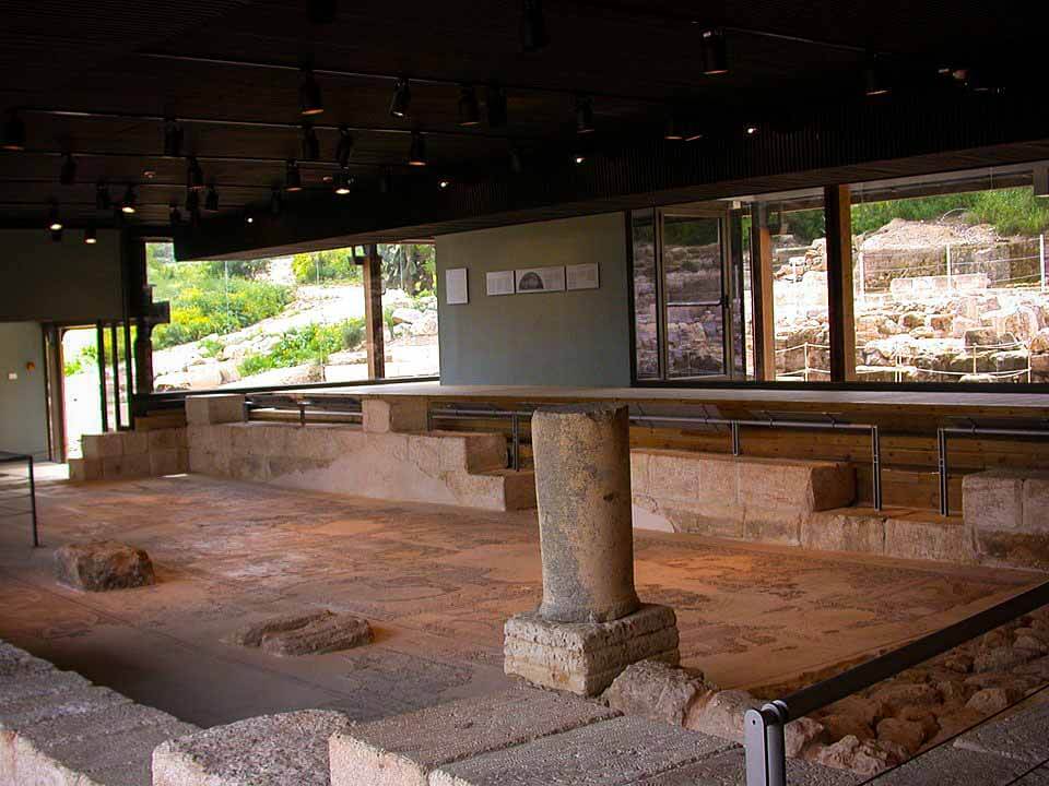
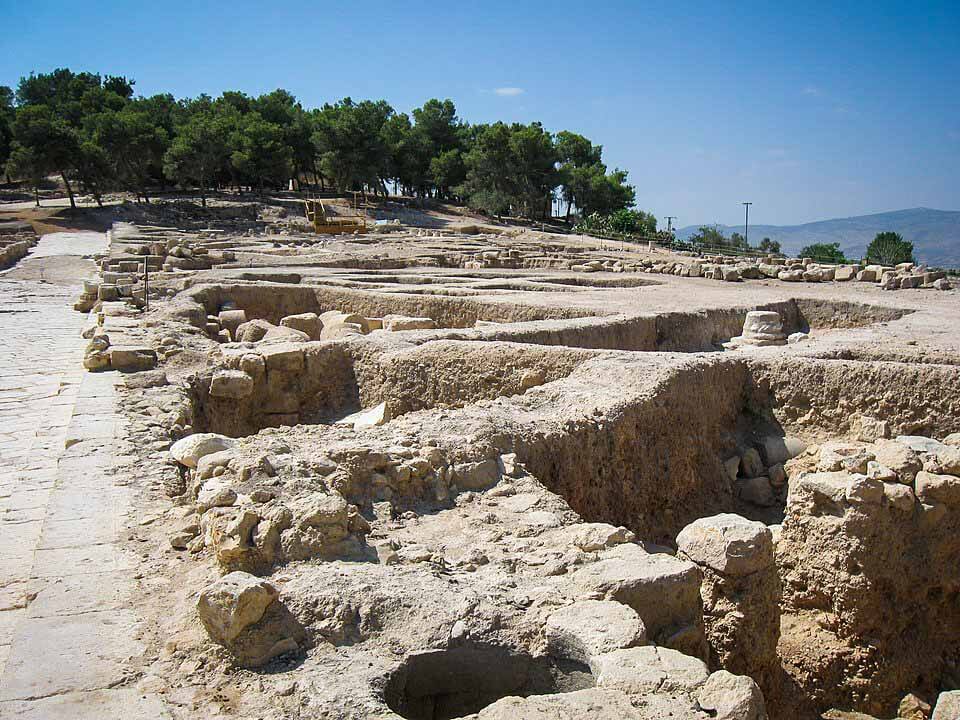
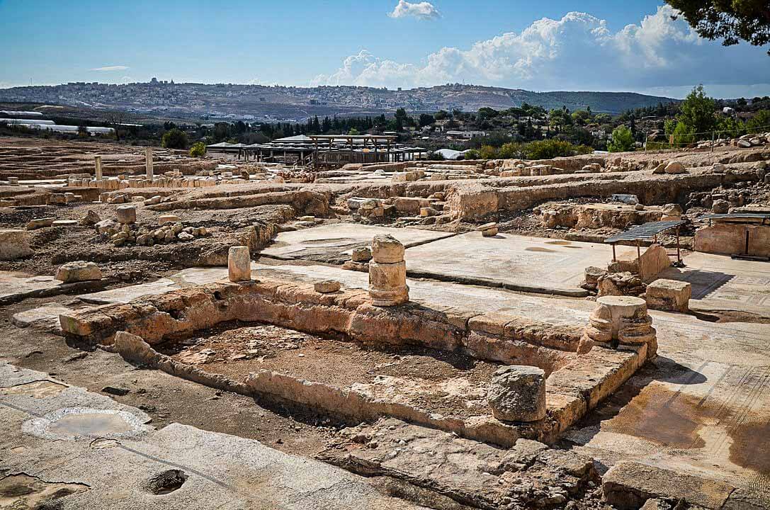
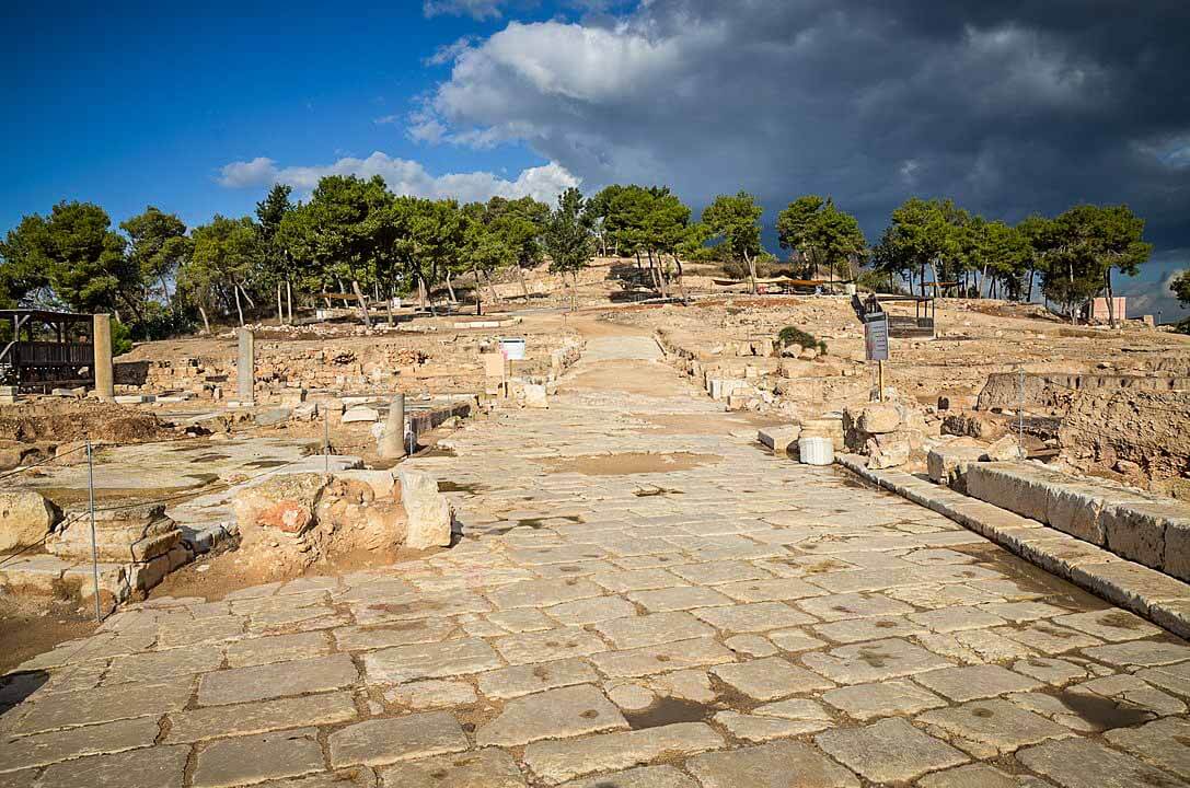
It lies 286 meters above sea level and overlooks the Beit Netofa Valley. The site holds a rich and diverse historical and architectural legacy that includes Hellenistic, ancient Jewish, Roman, Byzantine, Islamic, Crusader, Arab and Ottoman remains.
Until its depopulation during the 1948 Arab–Israeli War, Saffuriya was an Arab village.
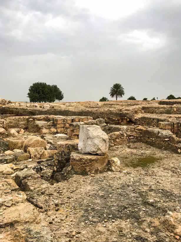
In 1992, the area occupied until 1948 by the Arab village, where the remains of the ancient city have been excavated, was designated an archaeological reserve named Zippori National Park.
Camping of Crusaders was here
At the end of the 11th century, the Crusaders invaded the region and established the Crusader states, with the “Kingdom of Jerusalem” replacing the Islamic rule over Saffuriya.
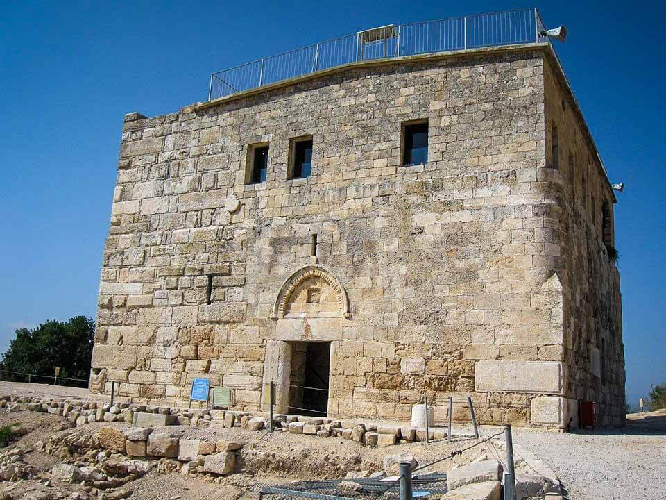
During the Crusader period, Sephoris/Saffuriya changed hands several times. The Crusaders built a fort and watchtower atop the hill, overlooking the town, and a church dedicated to Saint Anne, the mother of the Virgin Mary.
This became one of their local bases in the kingdom. In 1187, the field army of the Latin kingdom marched from their well-watered camp at Sepphoris to be cut off and destroyed at the Battle of Hattin by the Ayyubid sultan, Hz. Salahuddin Ayyubi رحمة الله عليه.