Farafra, Egypt
Coordinates: 27.363700, 28.121900
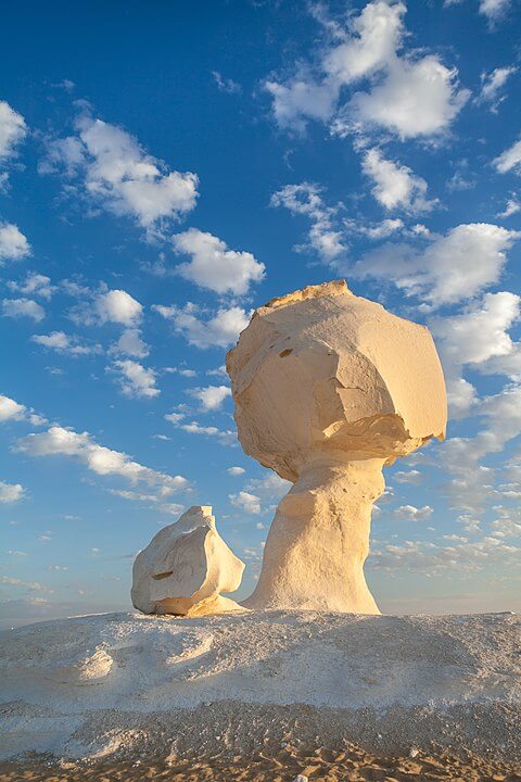
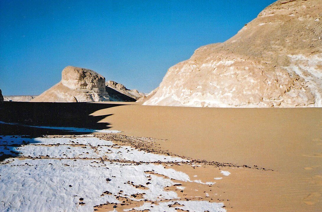
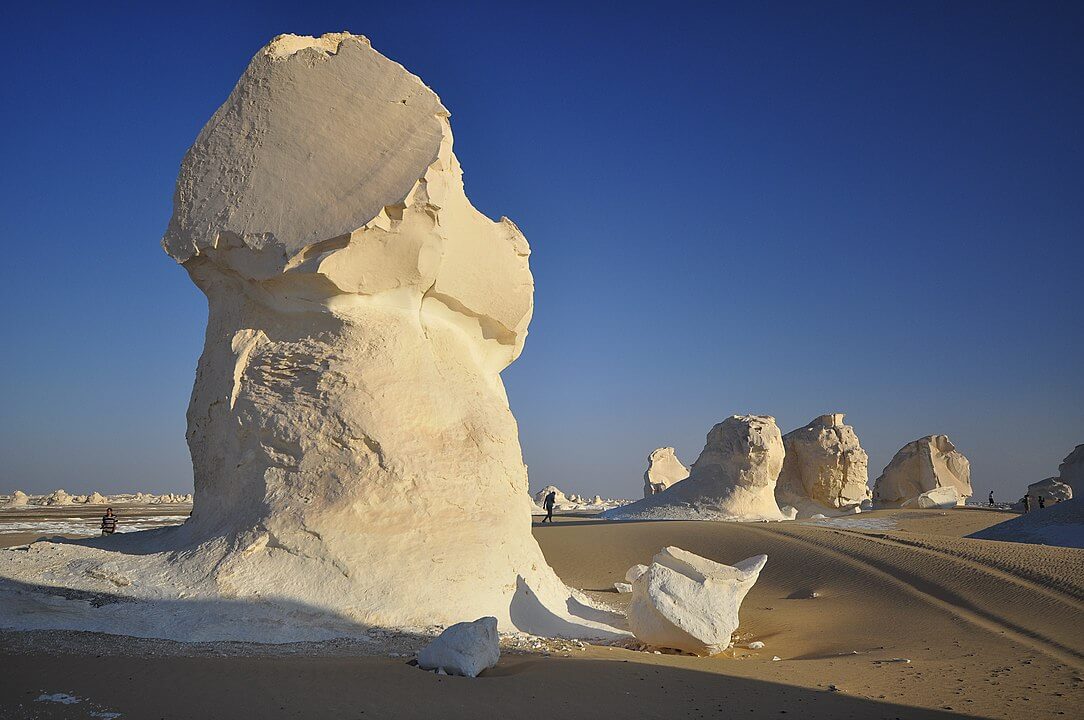
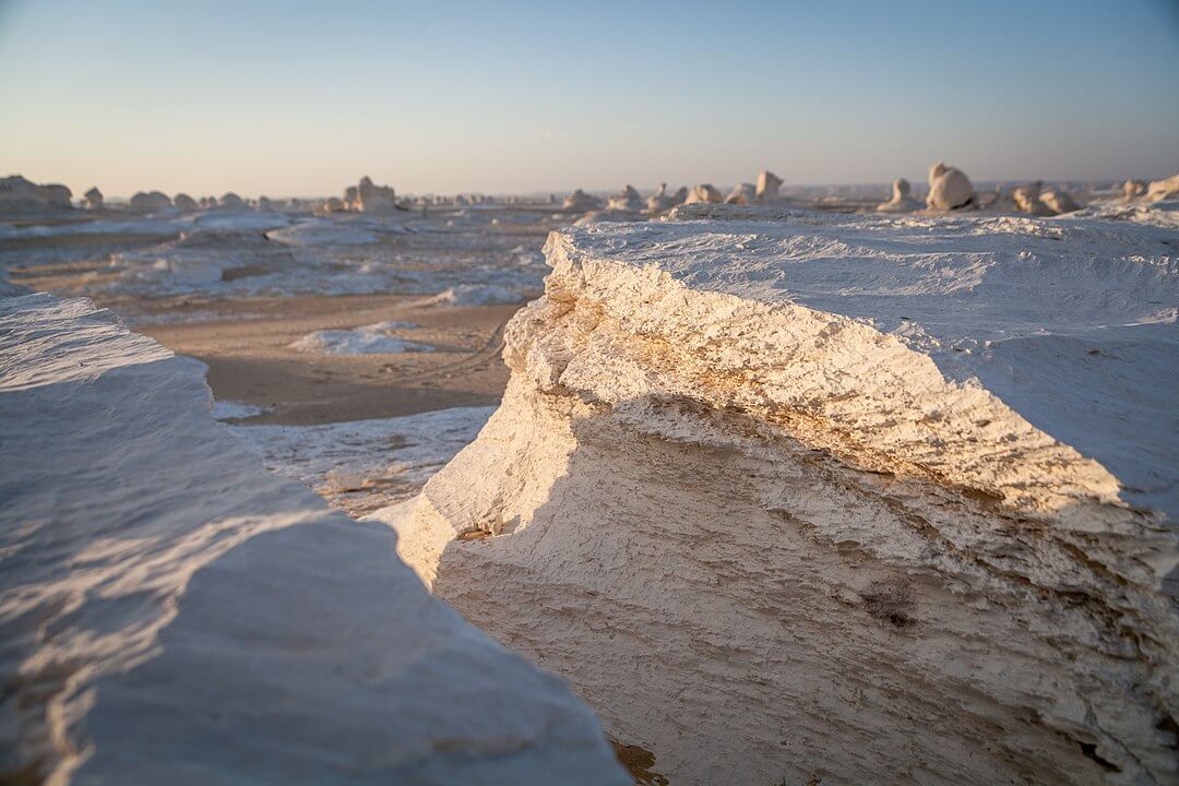
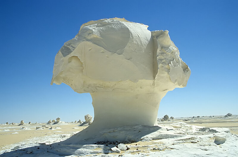
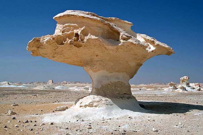
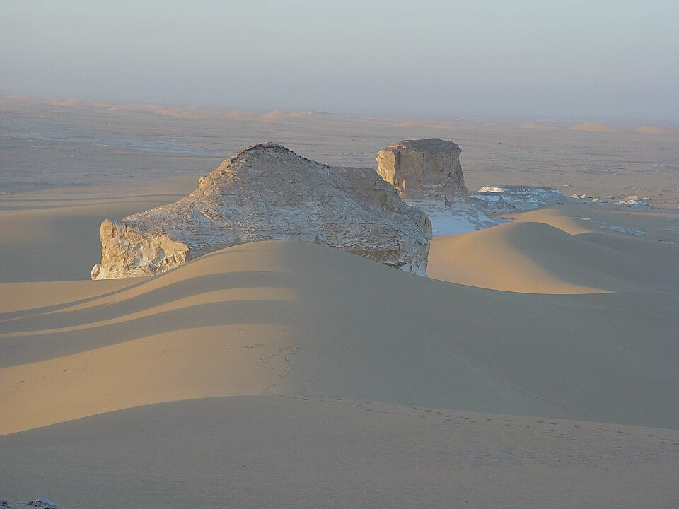
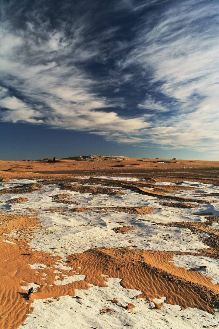
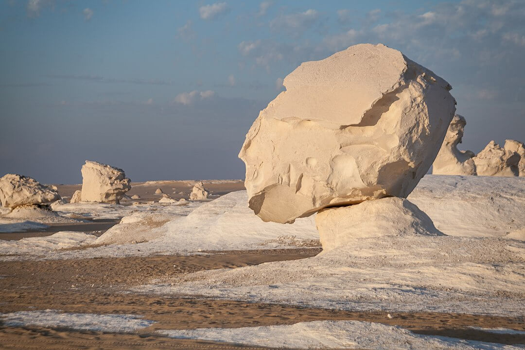
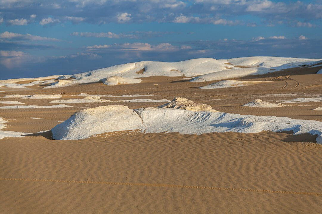
A main geographic attraction of Farafra is its White Desert (known as Sahara el Beyda) — a national park of Egypt and 45 km (28 mi) north of the town of Farafra, the main draw of which is its rock type colored from snow-white to cream.
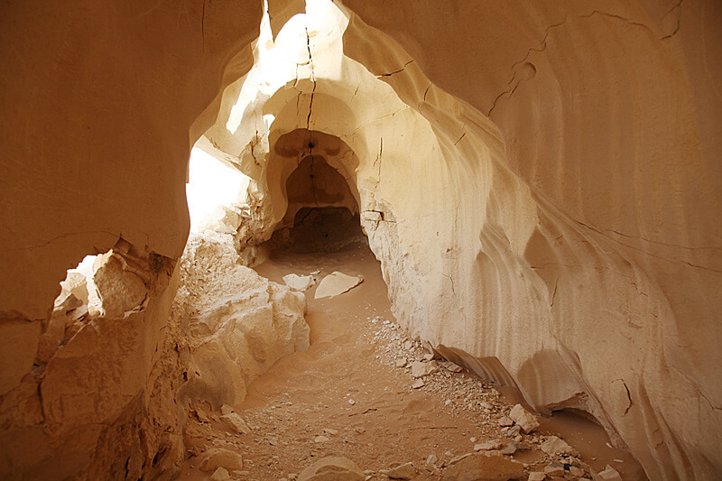
It has massive chalk rock formations that are textbook examples of ventifact and which have been created as a result of occasional sandstorm in the area. The White Desert is a typical place visited by some schools in Egypt, as a location for camping trips
The Farafra depression is a 980 km2 (380 sq mi) geological depression, the second biggest by size in Western Egypt and the smallest by population, near latitude 27.06° north and longitude 27.97° east. It is in the large Western Desert of Egypt, approximately midway between Dakhla and Bahariya oases.
There is a large lake touristic well named Abu Nus 15 kilometers north of the edge of the Farafra.
Know This
The calcite formations look slightly yellow in the low sunshine, which is attractive. However for giving the real white image you should arrive not later than 3 p.m. and stay or wander around in the desert until sunset around 5 p.m. depending on the month of the year.
Many want to stay overnight in a tent freezing and looking at the stars. Certainly an experience. But you will not be alone as it is very popular. What you miss is having sufficient time for the likewise impressive Black Desert and Crystal Mountain.
So, if you are more interested in the landscapes than the overnight experience my advise is to take a full day in the deserts leaving at 9-10 a.m. and returning at 7.30 p.m.