Israel Occupied Palestine

Coordinates: 32.752200, 35.281100
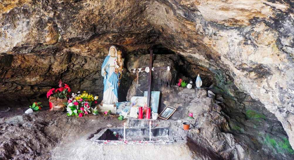
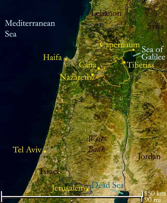
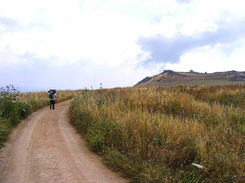
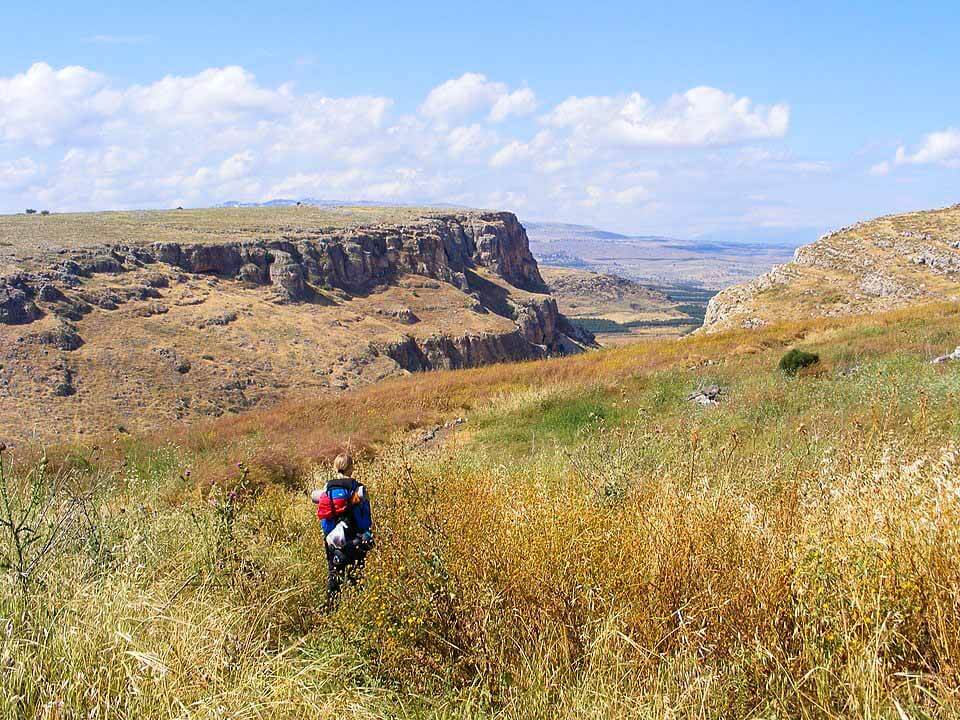
Commonly known as Jesus Trail is a 65 km hiking and pilgrimage route in the Galilee region of Israel occupied Palestine that traces the route Hz. Isa عليه اسلام may have walked, connecting many sites from his life and his mission.
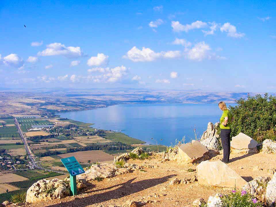
The main part of the trail begins in Nazareth and passes through Sepphoris, Cana (Kafr Kanna), the Horns of Hattin, Mount Arbel Cliffs, the Sea of Galilee, Capernaum, Tabgha, and the Mount of Beatitudes.
An alternate return route passes by Tiberias, the Jordan River, Mount Tabor, and Mount Precipice
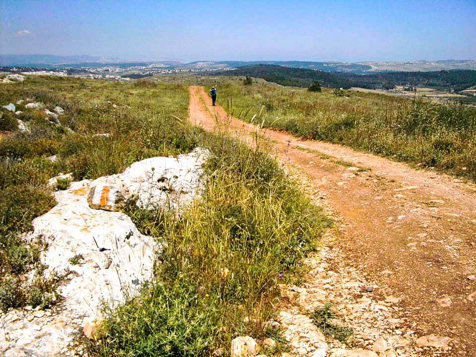
The trail is public and free for anyone who wants to hike and camp along its course. The Jesus Trail is marked with a blaze of three stripes painted on rocks along the way (white, orange, and white)
When portions of the Jesus Trail combine with other trails, an additional orange circle is added to the previous trail marker
Target group
The Gospel Trail is a similar hiking path that opened in November 2011 to attract Christian tourism to Israel, which accounts for two-thirds of all incoming tourism.
The geography and distances involved naturally allow the Jesus Trail to be walked as a series of day-hikes for a total of four days, with each day’s hike being between 13 and 19 km (8 to 12 mi) in length.
1st Day: Nazareth to Cana via Sepphoris
2nd Day: Cana to Kibbutz Lavi
3rd Day: Kibbutz Lavi to Moshav Arbel
4th Day: Moshav Arbel to Capernaum via Mount of Beatitudes