Socotra Island, Yemen
Coordinates: 12.384167, 54.015556
Nearby Places
- Aomak Beach 4.64 Km S (173°)
- Diksam Plateau 8.95 Km NW (299°)
- Wadi Dirhur Canyon (these coordinates were of diksam , cause wadi dirhur were unknows) 8.95 Km NW (299°)
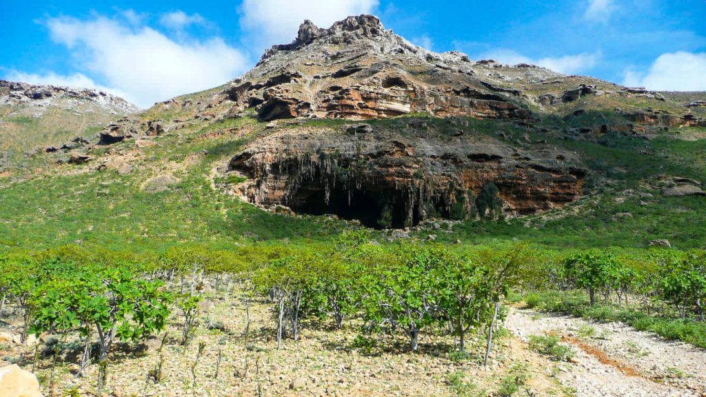
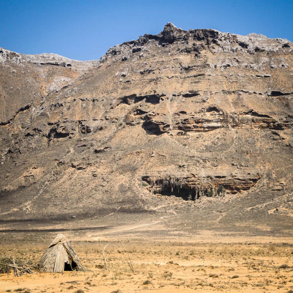
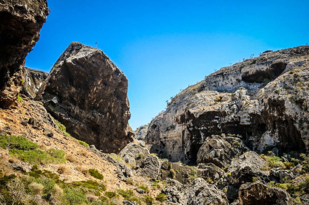
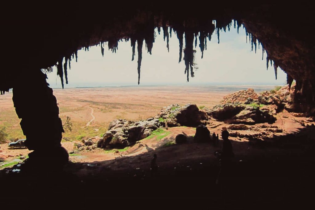
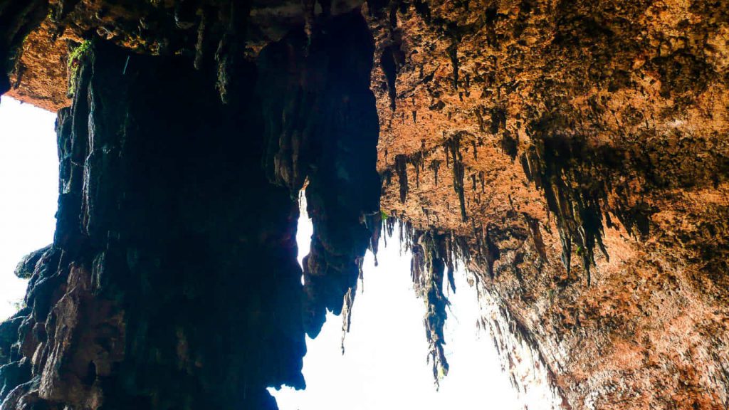
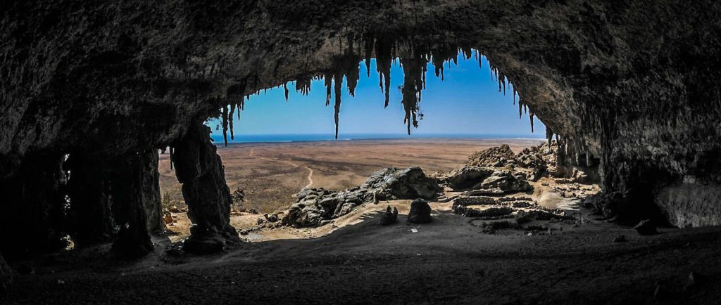
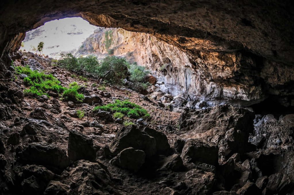
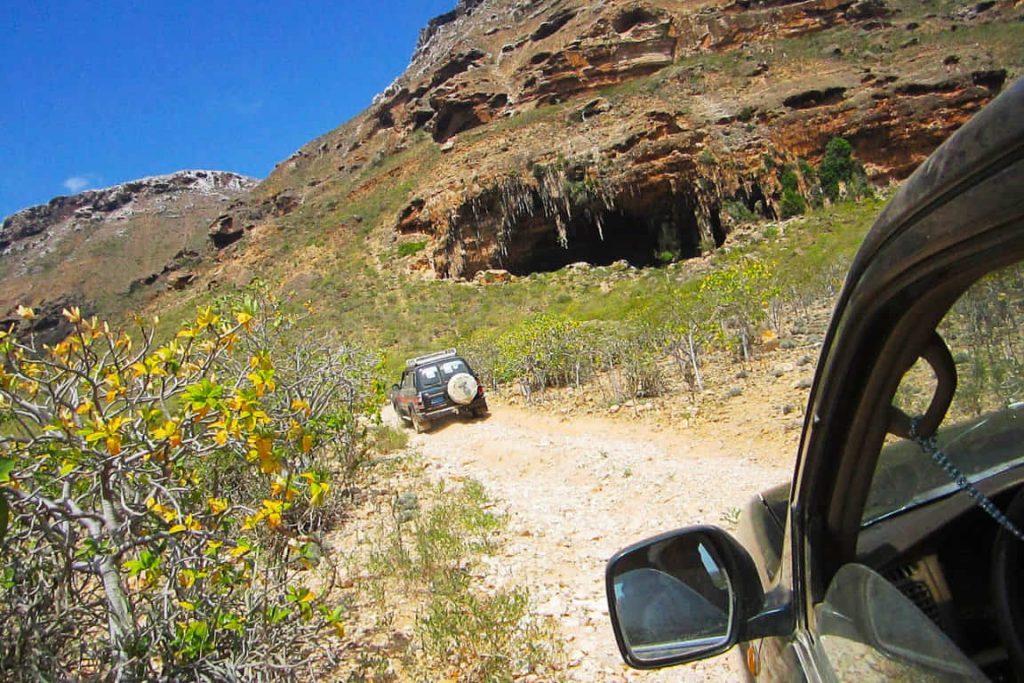
Dogub Cave is located on the southern shore, behind the Noget dunes. This cave can be easily reached by car. Due to water’s presence, the cave is the habitat of many different animals, especially bats and swifts.
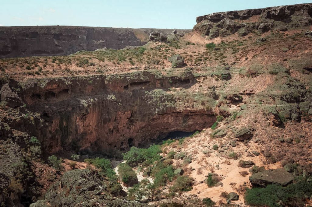
Dogub cave was in an area called Nogid, and it was dry, red, and inhospitable. At the time of my visit, Nogid had recently received an asphalt road. Socotra’s only highway connected it with the rest of the island. Huge rocky hills bordered the arid plains of Nogid, and a beautiful blue ocean lay on its other side.
Sources
http://www.socotra.cz/the-caves-of-socotra-24.html?lang=en
Image Sources
3662453285_fa94b00551_o
Stefan geens , some
https://www.flickr.com/photos/stefangeens/3662453285/
3662454385_4168c5faf1_o
Stefan geens , some
https://www.flickr.com/photos/stefangeens/3662454385/
1621px-Dogub_cave_(6408235377)
By Gerry & Bonni – Dogub cave, CC BY 2.0, https://commons.wikimedia.org/w/index.php?curid=38582162
3662452087_4b31c969e8_o
Stefan geens, some
https://www.flickr.com/photos/stefangeens/3662452087/
6408235377_59d4f76d73_k
Gerry & Bonni
https://www.flickr.com/photos/gerr-bon/6408235377/
6408234605_600320f550_o
Gerry & Bonni
https://www.flickr.com/photos/gerr-bon/6408234605/


