Hababah, Yemen
Coordinates: 15.544086, 43.876088
Nearby Places
- Thula city Ruins 4.56 Km NE (39°)
- Dar Al-hajar (Stone house) 29.09 Km E (112°)
- Hajjah 33.63 Km NW (298°)
First Heading
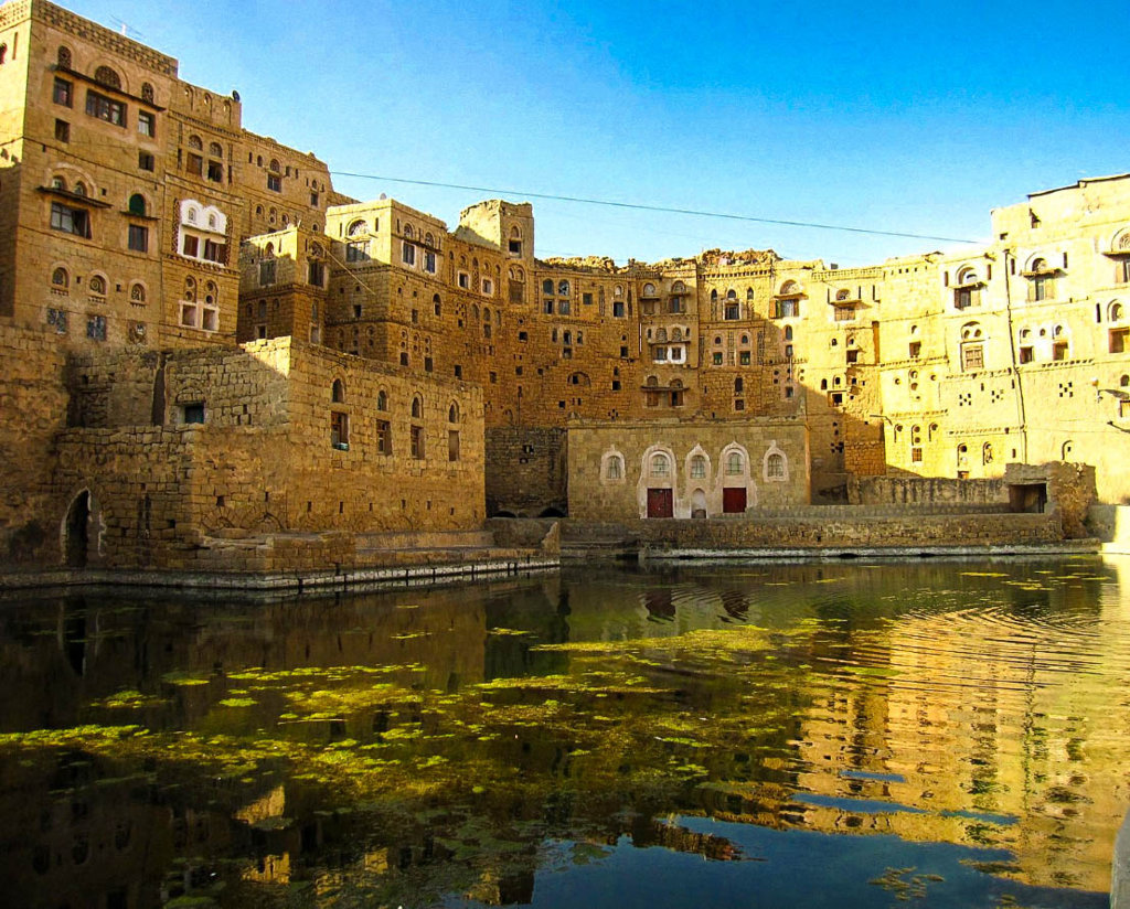
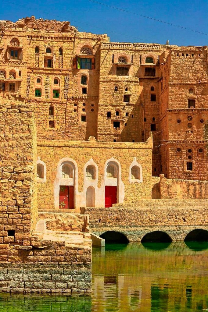
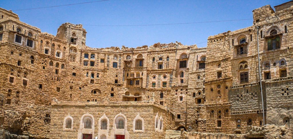
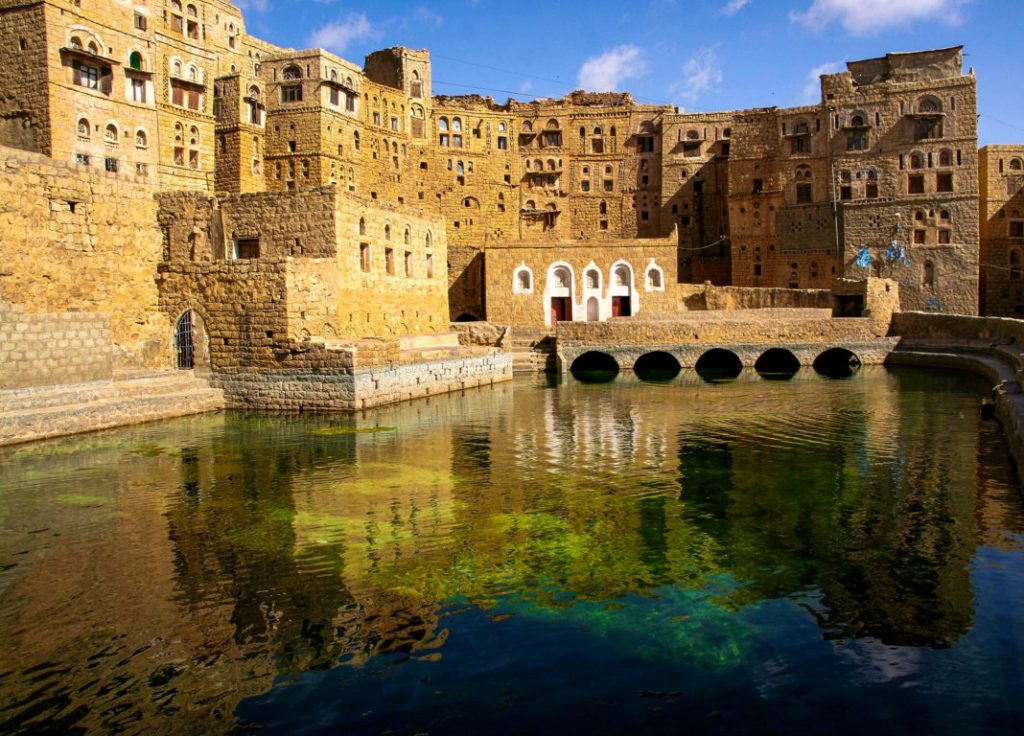
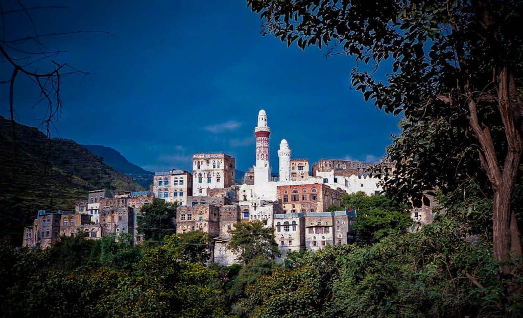
Hababah is a typical village of the region around the capital Sana’a. The houses are vertically made of stone with a decent decoration (windows, white lime, coloured doors). In each village, there is a public cistern with non-potable water.
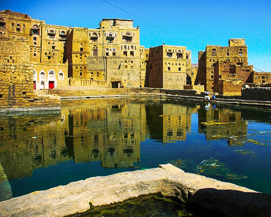
A beautiful water cistern is nestled within the heart of the village. This cistern is surrounded by buildings to guarantee its protection and proximity. Built with local stone, its interior has been waterproofed with traditional means to prevent water loss. Added to the rest of the cisterns in the area, the available flow is 70,000 cubic meters.
Cisterns are a classic feature in many of Yemen’s old settlements. Villagers created the large pools out of the rock and used them to store rainwater. These cisterns were a critical water source within the parched desert and kept the land from flooding during rain.


