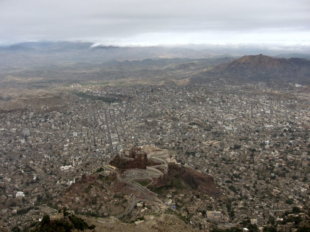
Taiz, Yemen

Coordinates: 13.515000, 44.051700
Nearby Places
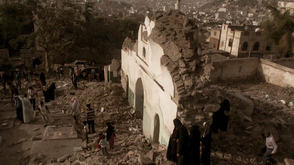
- Cairo Castle 7.07 Km NW (324°)
- Al-Ashrafiyyah Mosque 7.43 Km NW (324°)
- Mudhaffar Mosque 7.66 Km NW (324°)
First Heading
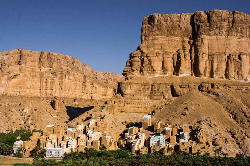
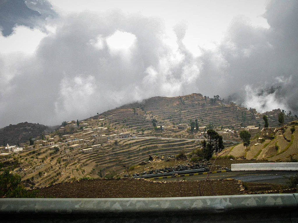
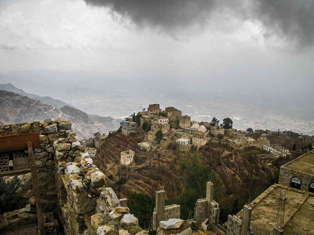
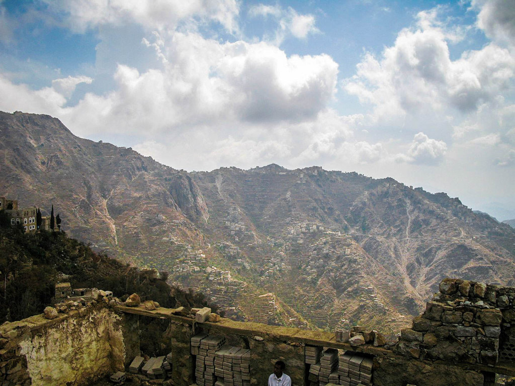
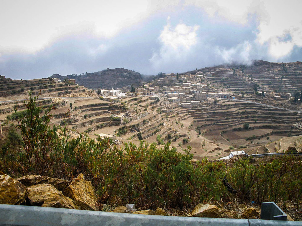
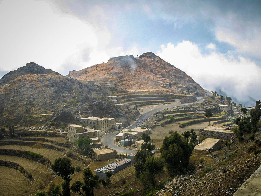
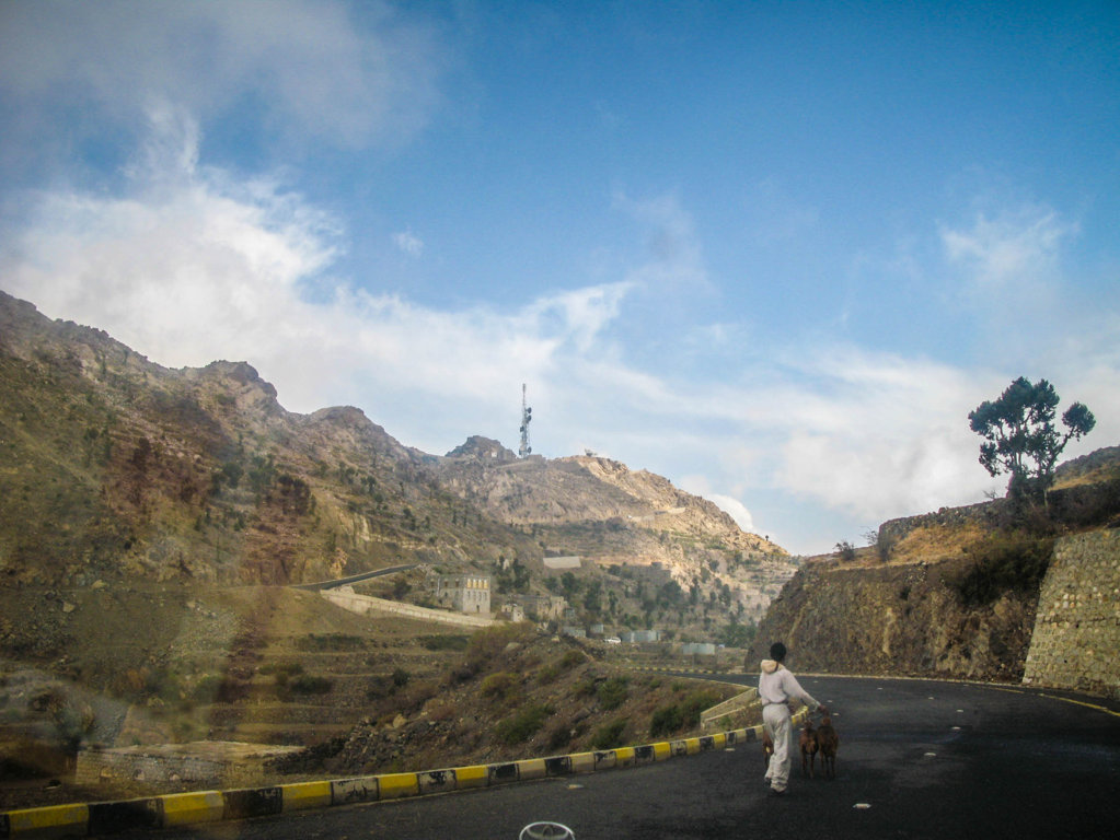
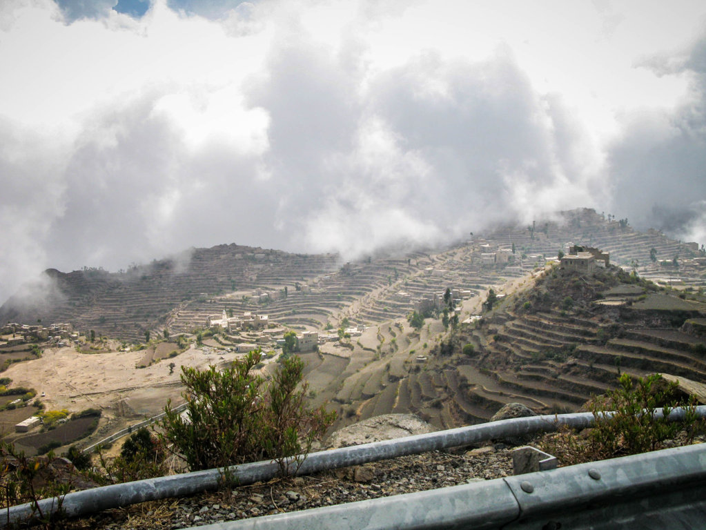
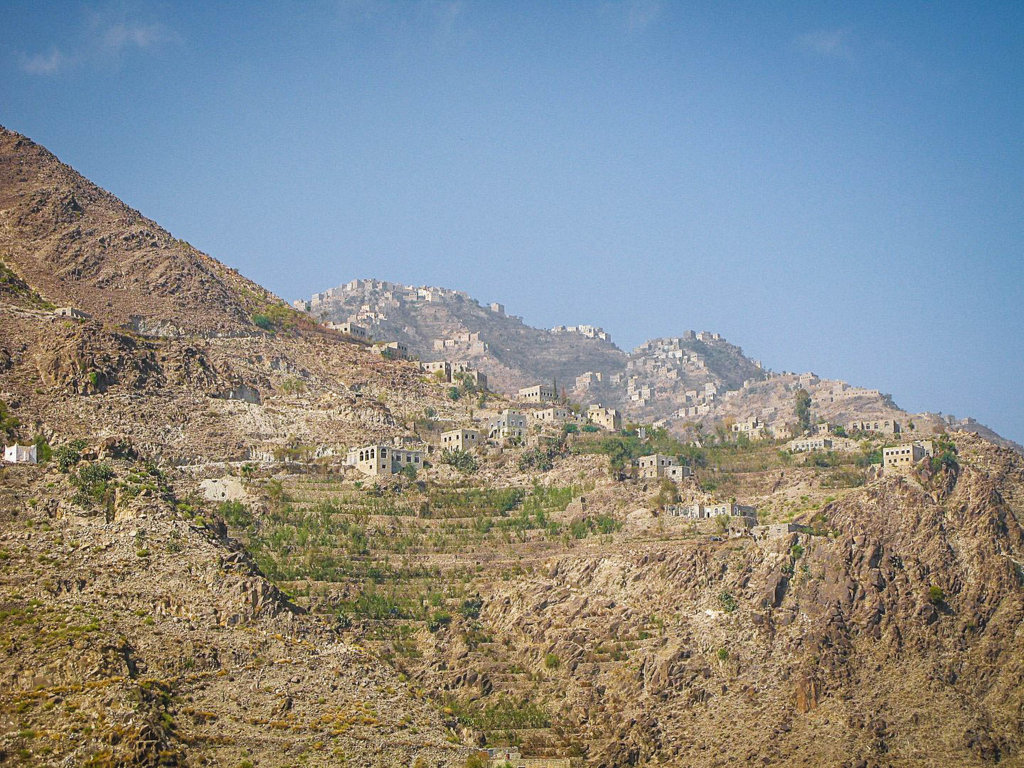
The Jebel Sabr mountain, located in south Taiz, is one of the highest mountains in Yemen with an altitude of 3070 meters. Many springs and streams run on its sides, and the lights of its cliff-hung villages are mistaken for stars. Jabal Sabir area was emplaced during the early stages of the Red Sea opening.
Sources
Image Sources
200612_Yemen-205_(354275102)
By Franco Pecchio from Milano, Italy – 200612_Yemen-205, CC BY 2.0, https://commons.wikimedia.org/w/index.php?curid=38593749
200612_Yemen-203_(354275022)
By Franco Pecchio from Milano, Italy – 200612_Yemen-203, CC BY 2.0, https://commons.wikimedia.org/w/index.php?curid=38593748
200612_Yemen-210_(354275226)
By Franco Pecchio from Milano, Italy – 200612_Yemen-210, CC BY 2.0, https://commons.wikimedia.org/w/index.php?curid=38593751
26_na_Sabir_(10)
By Ljuba brank – Own work, CC BY-SA 3.0, https://commons.wikimedia.org/w/index.php?curid=47153733
26_na_Sabir_(11)
By Ljuba brank – Own work, CC BY-SA 3.0, https://commons.wikimedia.org/w/index.php?curid=47153735