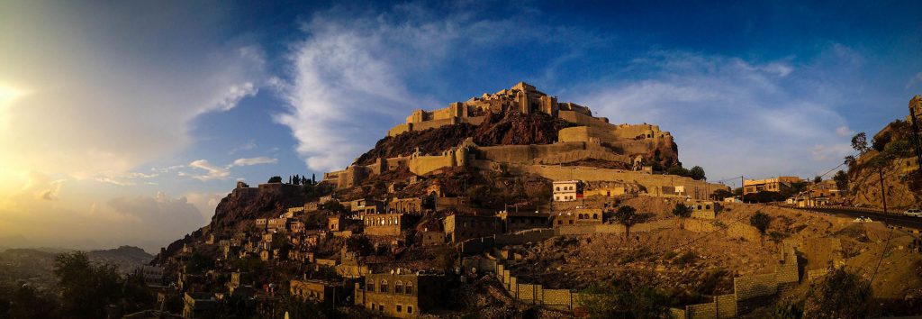
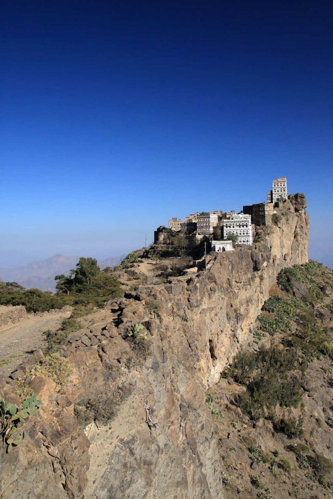
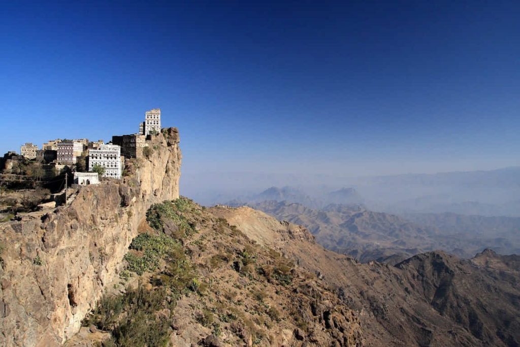
Haraz Mountains, Sana’a, Yemen

Coordinates:15.020229, 43.751446
Nearby Places
- Hutayb 2.44 Km N (4°)
- Al Hajjarah, 800 year old ancient village in Yemen 6.16 Km NW (324°)
- Manakah 6.23 Km N (349°)
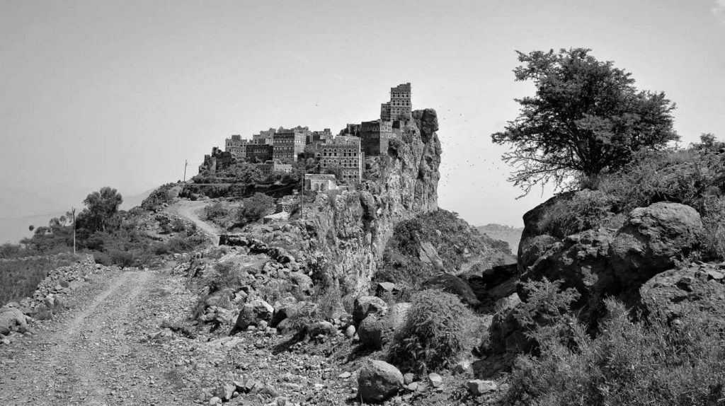
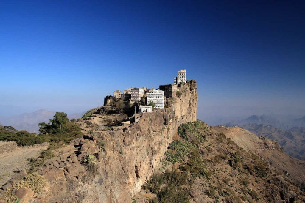
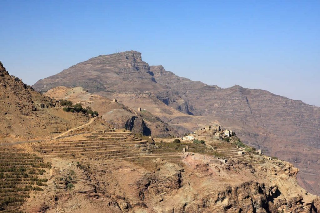
Kahil: village above the clouds, This village is located in an area at the peak of rocky peak mountains that are not easily accessible. Difficulty in the accessibility of this village had an advantage to its residents as the terrain act as a defense to the inhabitants against possible invaders.
Image Sources
24427568620_5b996a9ced_k
Rod Waddington
https://www.flickr.com/photos/rod_waddington/24427568620/in/photostream/
1620px-En_route_Kahil_to_Manakhah,Yemen(4324791193)
By yeowatzup – En route Kahil to Manakhah, Yemen, CC BY 2.0, https://commons.wikimedia.org/w/index.php?curid=24520743
1920px-Khalil_Village,Yemen(23185876182)
By Rod Waddington – https://www.flickr.com/photos/rod_waddington/23185876182/, CC BY-SA 2.0, https://commons.wikimedia.org/w/index.php?curid=54034607
1620px-En_route_Kahil_to_Manakhah,Yemen(4324801391)
By yeowatzup – En route Kahil to Manakhah, Yemen, CC BY 2.0, https://commons.wikimedia.org/w/index.php?curid=24520744
1620px-Kahil,Haraz_Mountains,_Yemen(4324754163)
By yeowatzup – Kahil, Haraz Mountains, Yemen, CC BY 2.0, https://commons.wikimedia.org/w/index.php?curid=24520752
1707px-Kahil_Village,Yemen(10138149653)
By Rod Waddington from Kergunyah, Australia – Kahil Village, Yemen, CC BY-SA 2.0, https://commons.wikimedia.org/w/index.php?curid=29766008