Socotra Island, Yemen
Coordinates: 12.629115, 53.906993
Nearby Places
- Hadiboh, coastal town in Socotra 12.14 Km E (79°)
- Hajhir Mountains 13.78 Km SE (116°)
- Skand Peak 14.61 Km SE (115°)
Opened in 1999, this most remote Yemeni airport has a weekly flight connecting the Island with the mainland airport in Seiyun, where an aircraft makes a technical stop.
The airport is located on the paved road that connects Hadibo on the northern coast with the main tourist attraction on the extreme west of the Island, Qalansiyah beach. It takes about two hours to get from the airport to Qalansiyah.
There is no scheduled transportation service between the airport and Hadibo. Still, it can be reached within a quarter of an hour by vehicle. Regular fees vary between 30 and 50 Yemeni rials.
Flights were suspended in March 2015, due to Saudi Arabian-led intervention in Yemen, and resumed in late 2018.
In April 2018, troops from the United Arab Emirates dismissed the Yemeni officials and took administrative control of the airport.[3] In May of the same year, an agreement was reached between the United Arab Emirates and Yemen, where the airport’s control returned to the Yemeni officials.
How to get to Socotra Island
There are two ways to get to the Island, either book a flight from Sana’a – Yemen or fly to Socotra through the Arab Emirates (UAE).
Sources
Image Sources
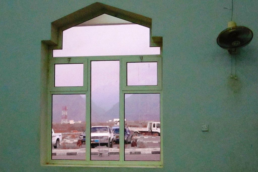
1620px-Socotra_airport_window_(6407125033)
By Gerry & Bonni – Socotra airport window, CC BY 2.0, https://commons.wikimedia.org/w/index.php?curid=38582064
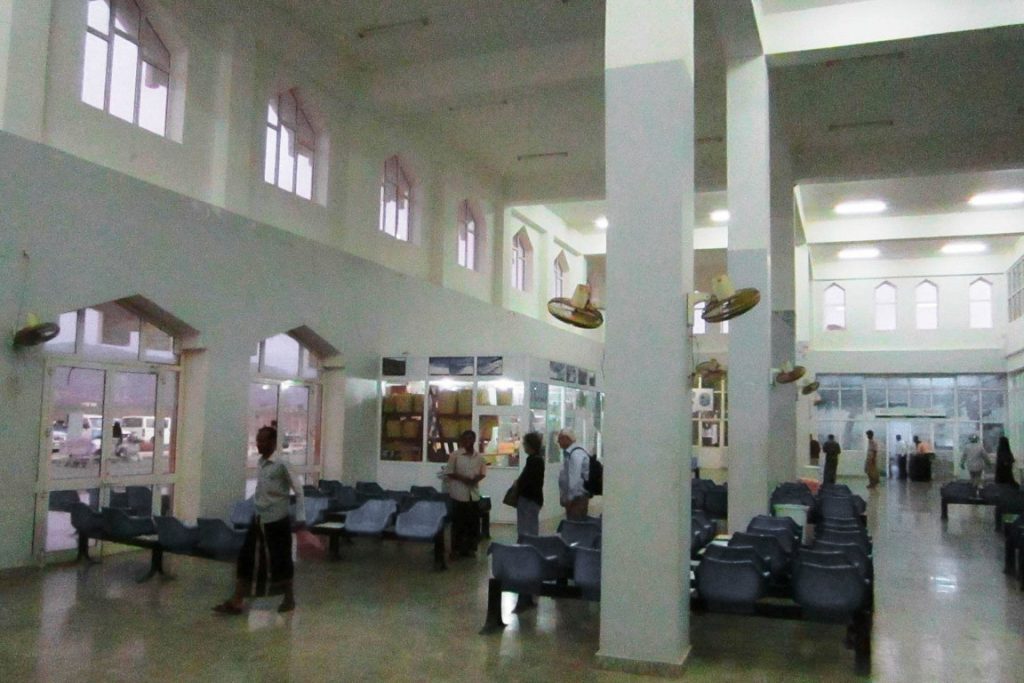
1620px-Socotra_airport_lobby_(6407125315)
By Gerry & Bonni – Socotra airport lobby, CC BY 2.0, https://commons.wikimedia.org/w/index.php?curid=38582062
1621px-Airport_tower_(6408250813)
By Gerry & Bonni – Airport tower, CC BY 2.0, https://commons.wikimedia.org/w/index.php?curid=38582065
1621px-Mukulla_Riyan_airport_(6407124305)
By Gerry & Bonni – Mukulla Riyan airport, CC BY 2.0, https://commons.wikimedia.org/w/index.php?curid=38582057


